DAY 61: Silloth to Bowness-on-Solway (17.10m)

It's another beautiful day in the North West. Into Silloth first. A small, solid town with a Victorian grid pattern and robust colourful buildings. 

upload.jpg
upload.jpg
upload.jpg
upload.jpg

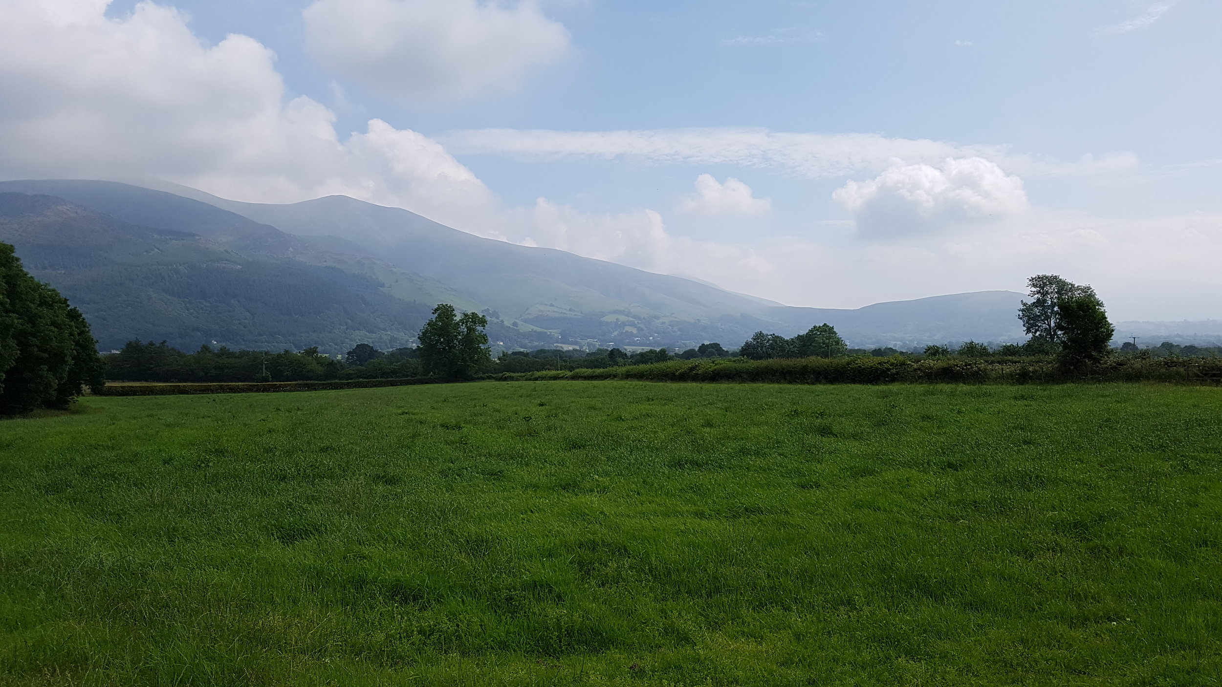
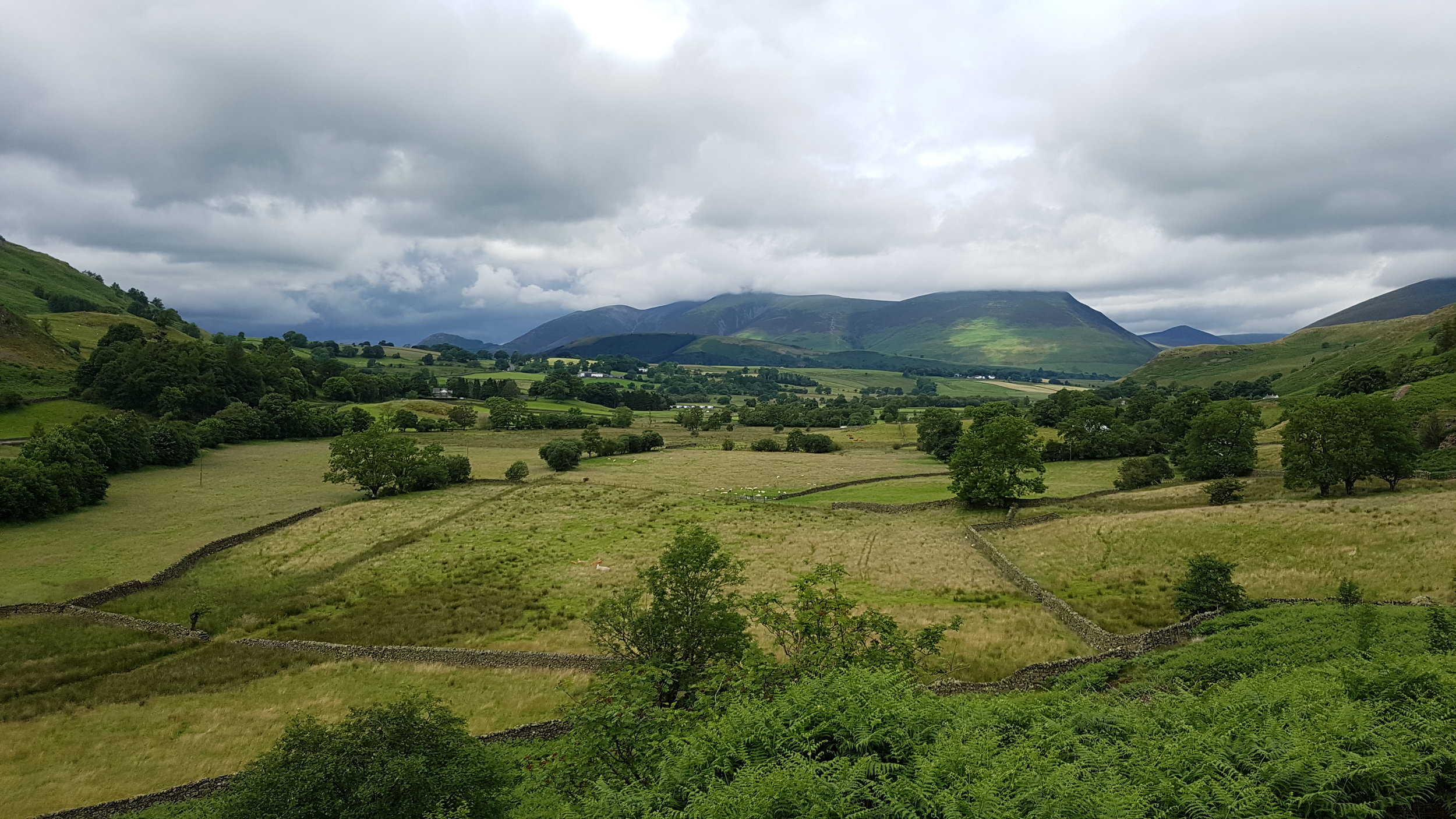
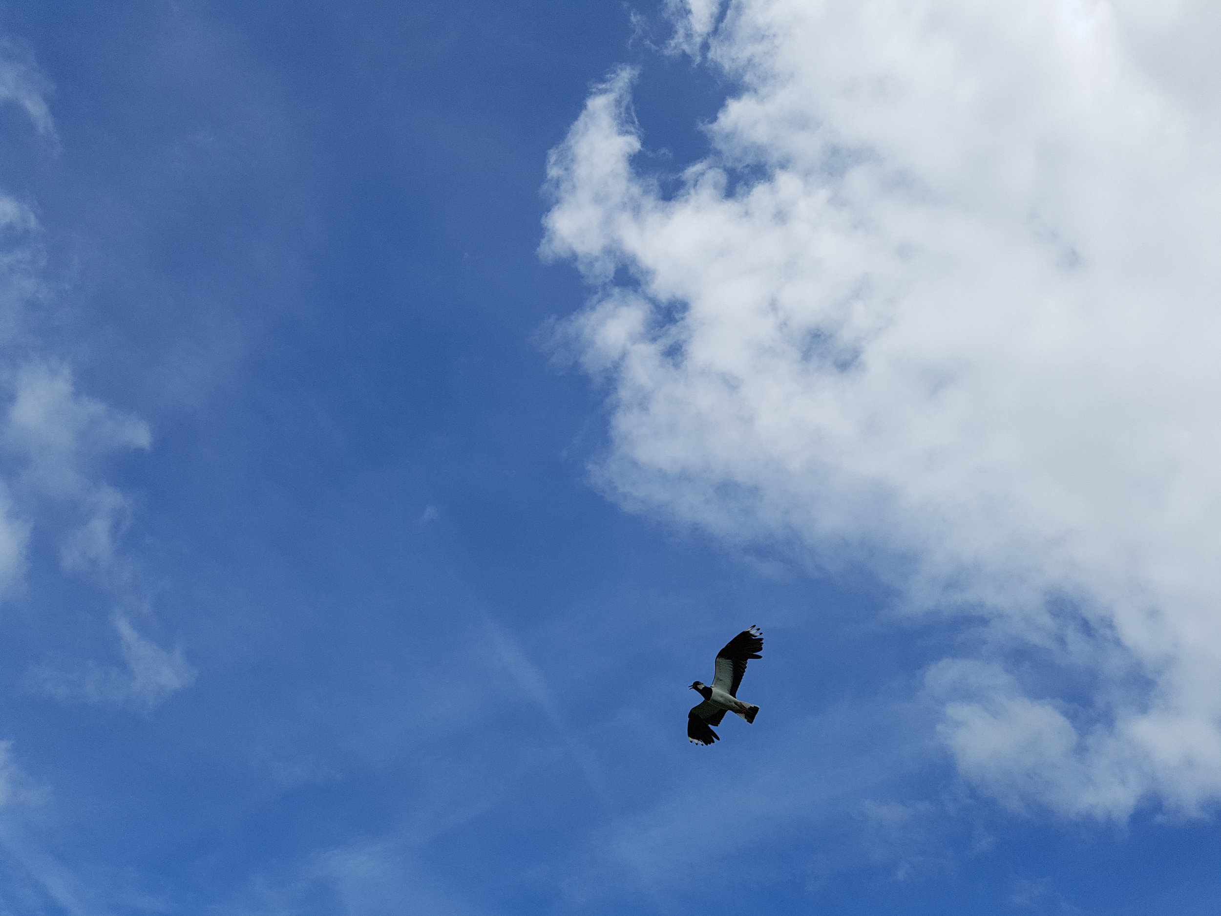
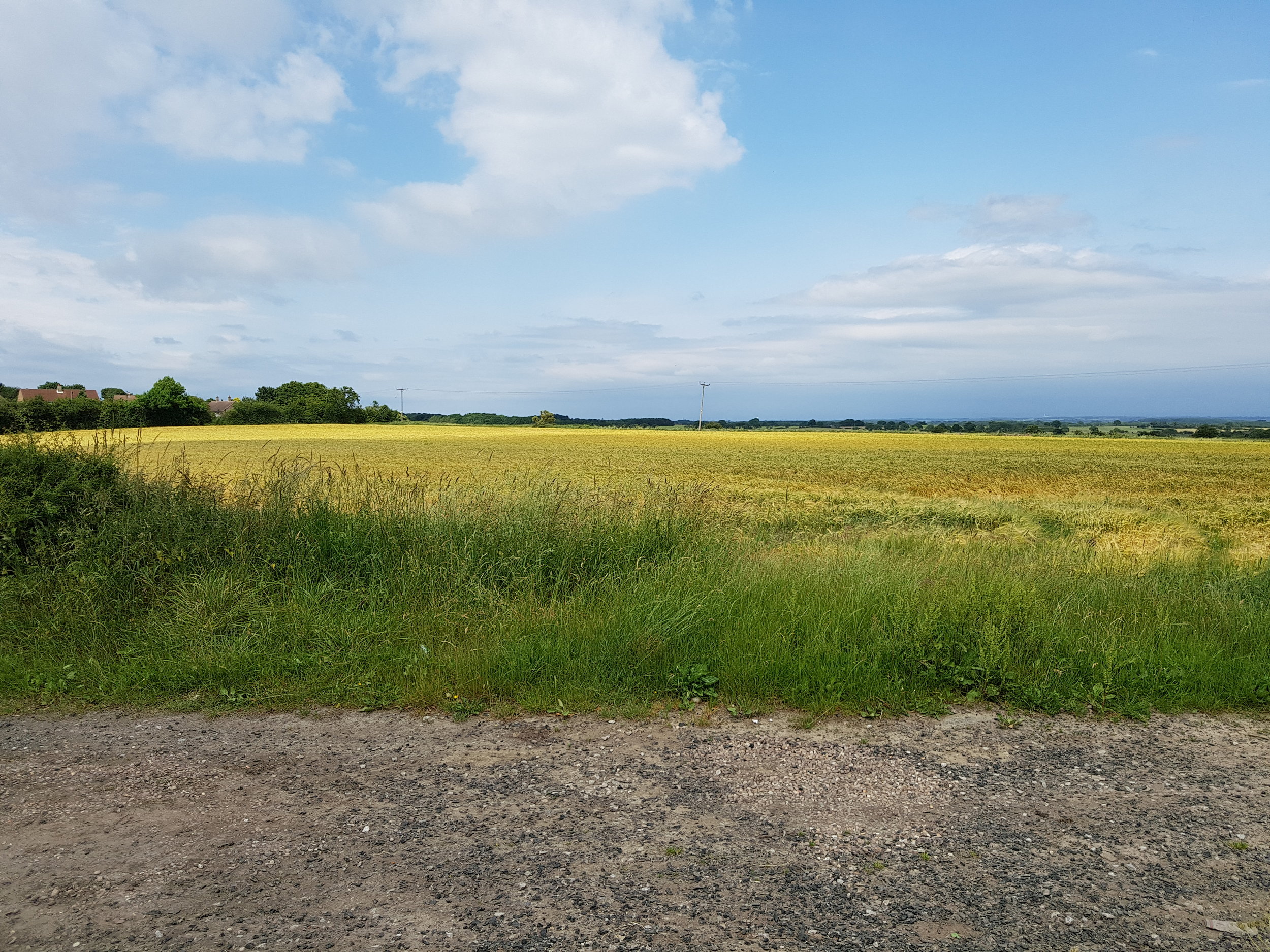
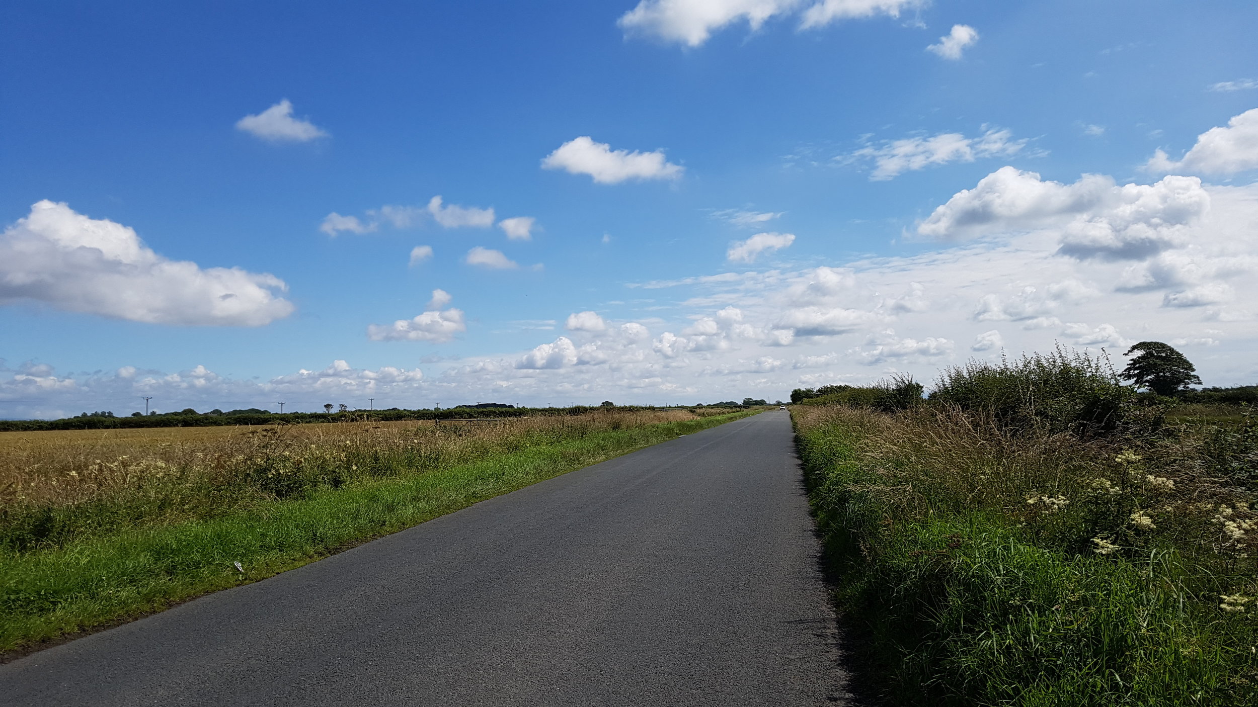
Left Silloth. Wide open and flat - countryside which in some circumstances I've found depressing (Somerset Levels) today is invigorating. Massive expanse of blue sky speckled with perfect clouds.

upload.jpg
upload.jpg
upload.jpg
Hmmm.... 

Hmmm.... 

upload.jpg
upload.jpg

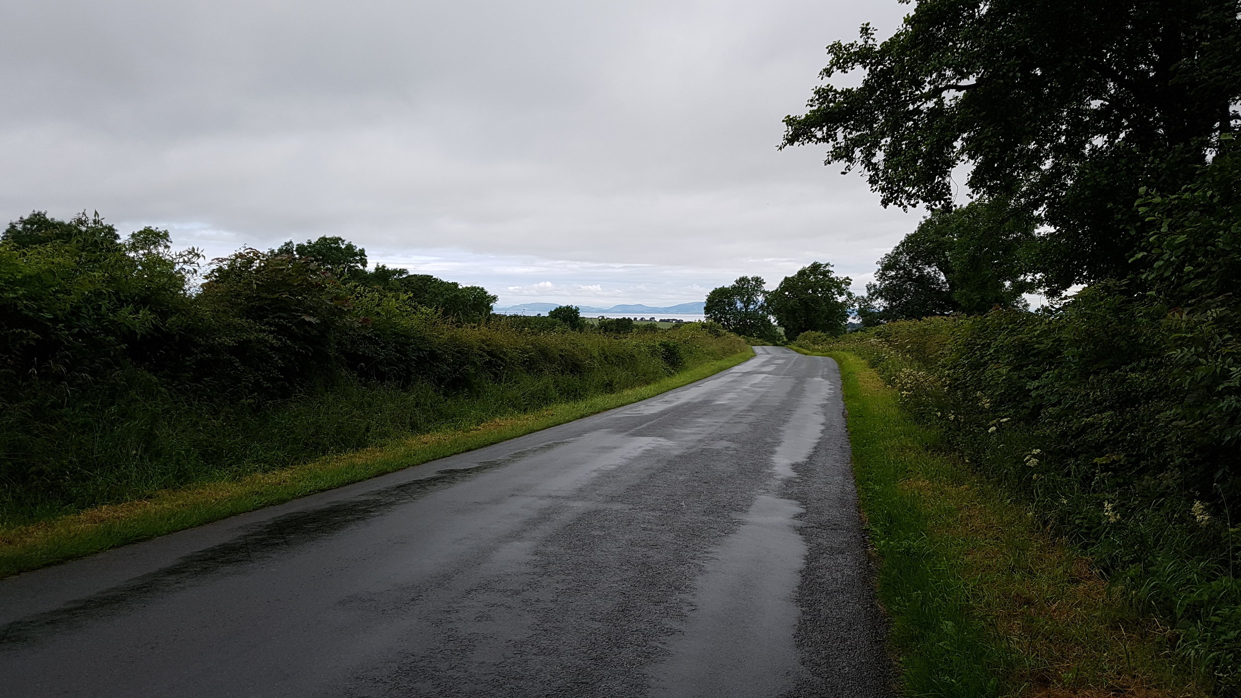
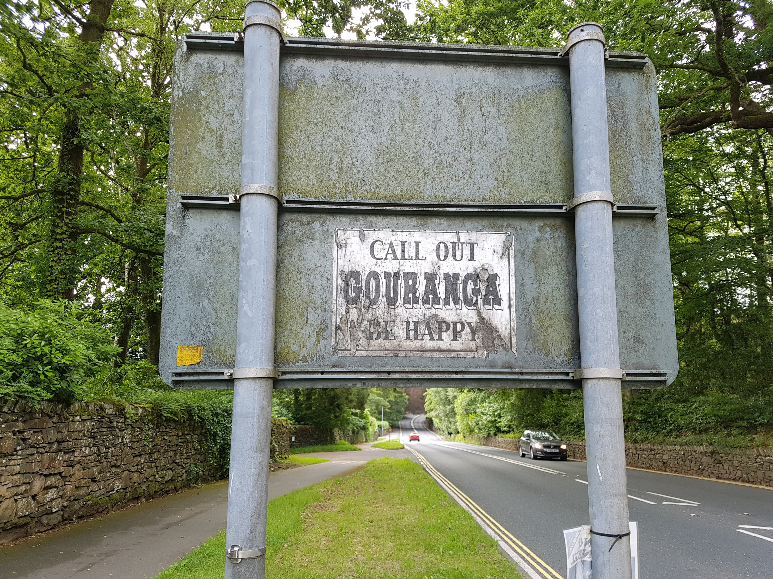
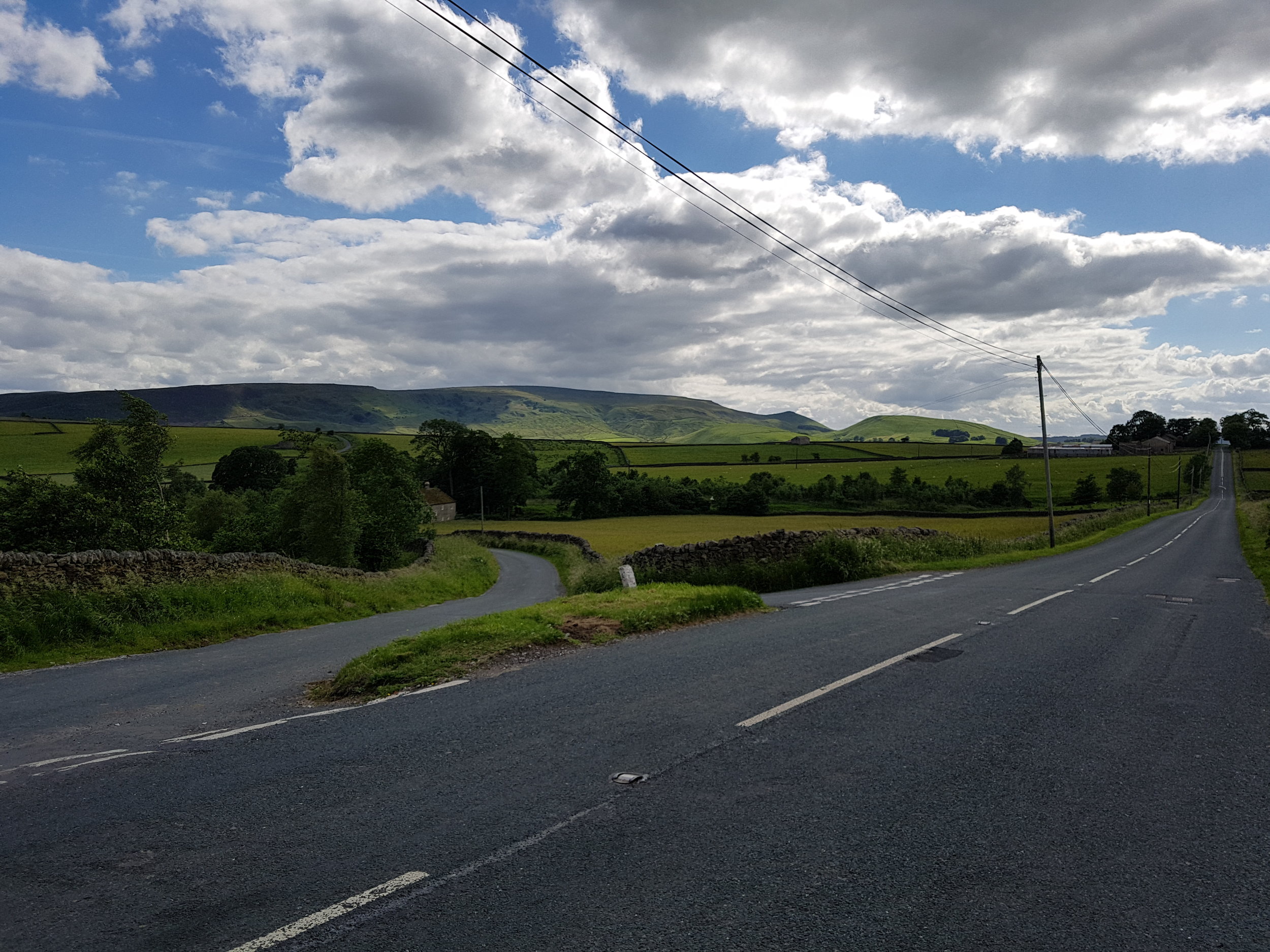
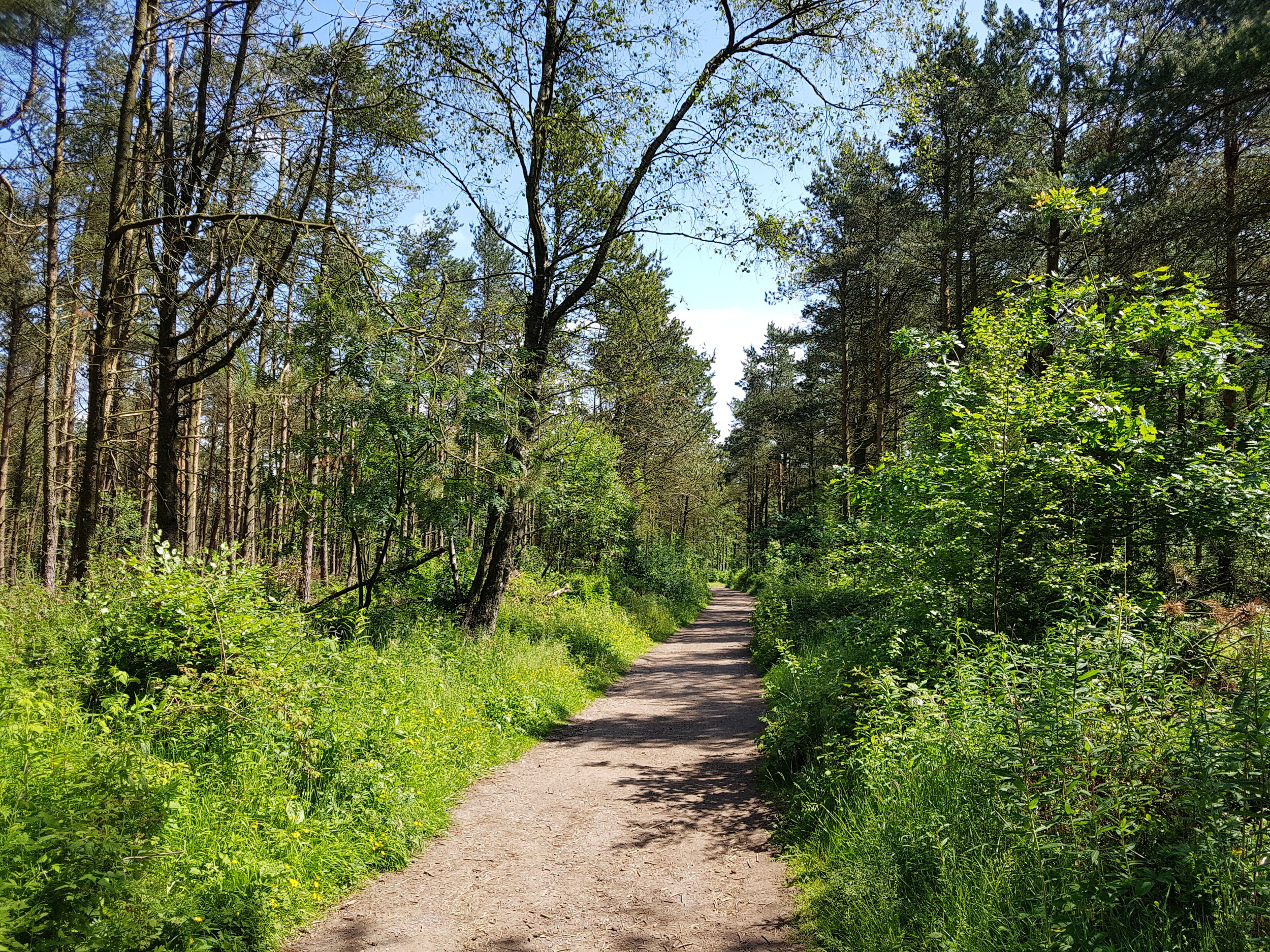
The empty country roads are fringed by wild flowers.

upload.jpg
upload.jpg

Through Abbeytown. Chatting to locals I find the North Cumbrian accent pretty similar to Newcastle - perhaps Hadrian's Wall acts as not just a barrier but a linguistic highway as well?

upload.jpg
upload.jpg

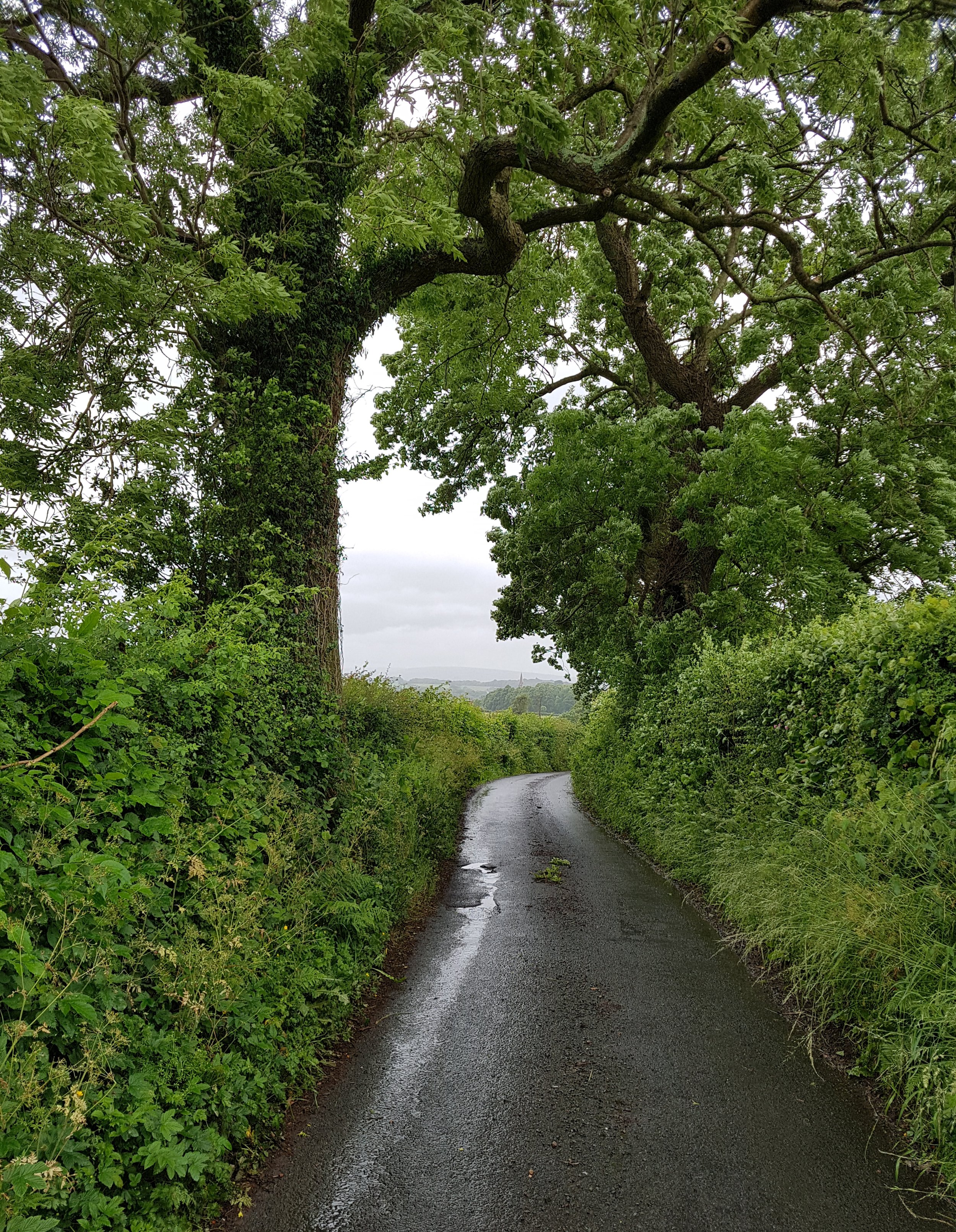
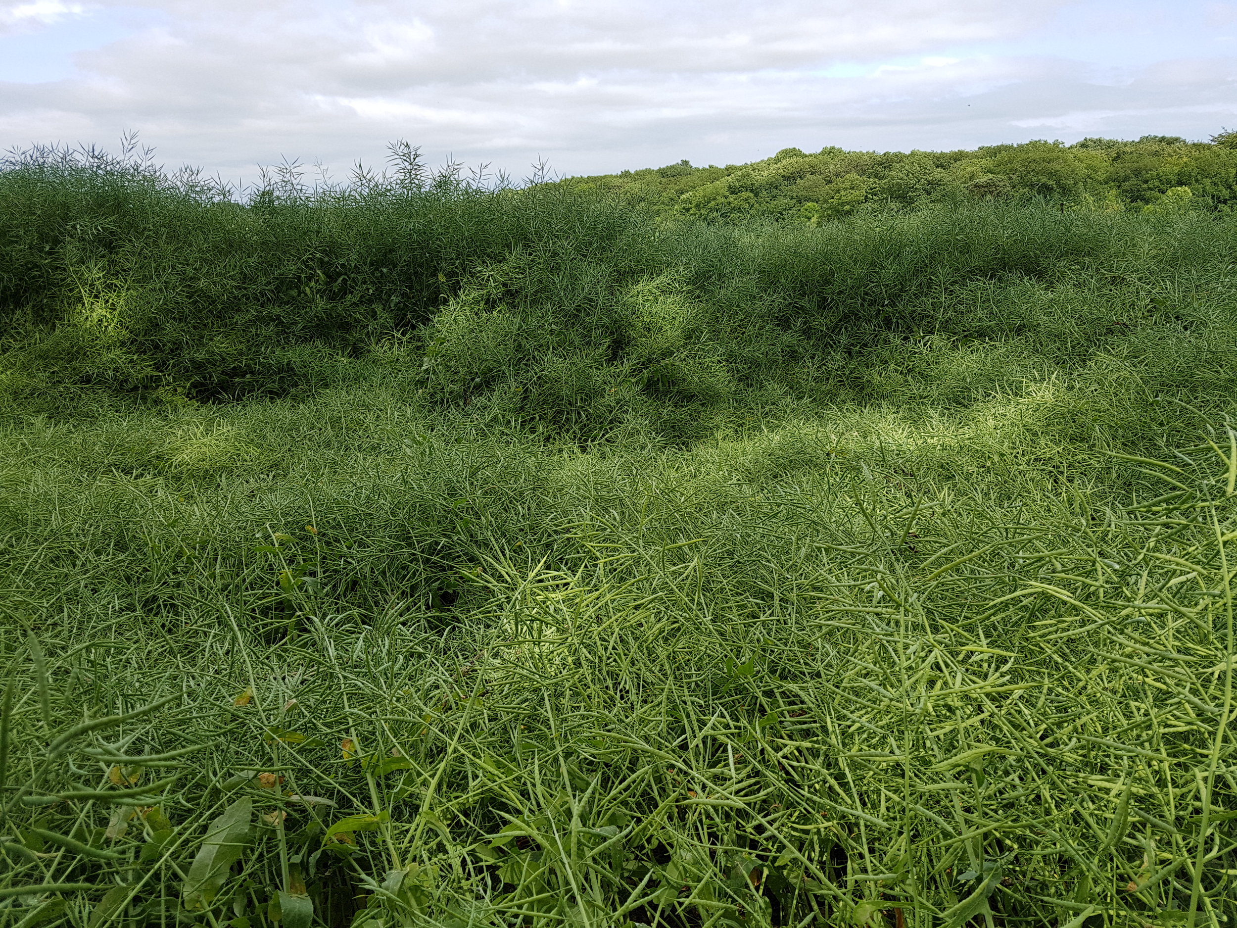
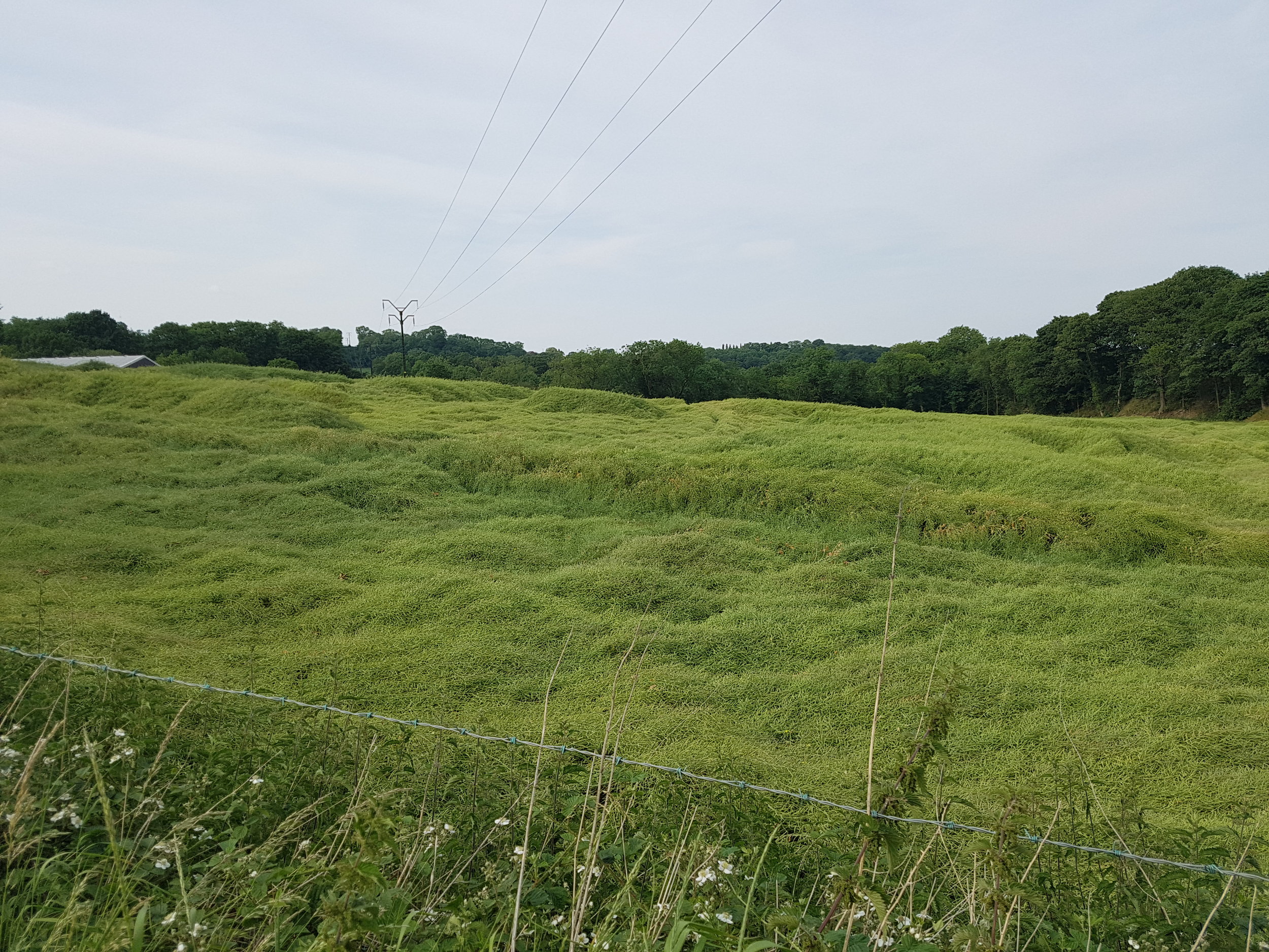
More great long, quite country roads.  

upload.jpg
upload.jpg
upload.jpg
upload.jpg

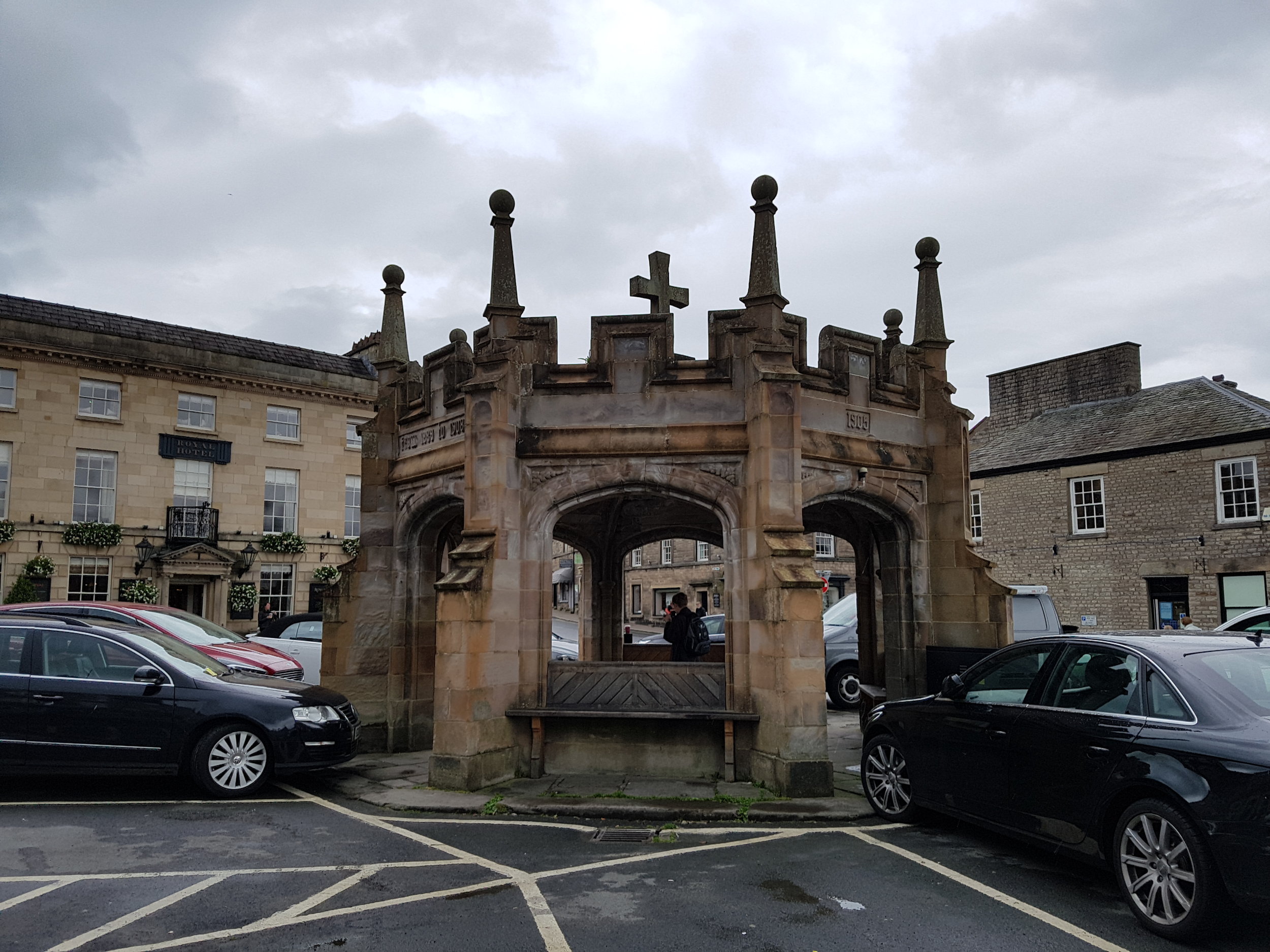
Stopping at the church at Newton Arlosh. In these border areas the churches are fortified to protect against raids from the border reivers. Reiving focused mainly on stealing cattle and sheep. 

upload.jpg

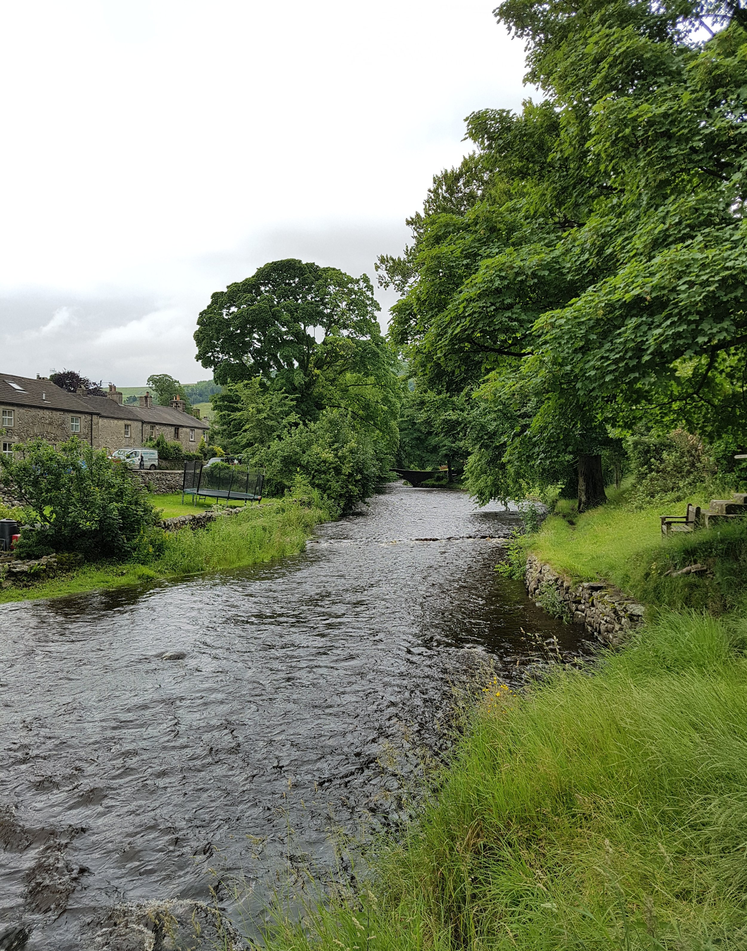
I cross the River Wampool and then due to north to Bowness-on-Solway.

upload.jpg
upload.jpg

Arriving in Bowness-on-Solway the fortified church of St Michael's is next to my campsite. More evidence of border reivers. In 1626 the church bells were stolen in a raid but they were lost in the Solway when being taken back to Scotland. The villagers of Bowness retaliated by stealing the bells from Dornock and Middlebie. Every new vicar in Dornock, to this day, requests the bells back from Bowness. Requests that have always been refused.

upload.jpg
upload.jpg

DAY 60: Cockermouth to Silloth (17.250m)

I'm leaving the Lake District today and heading for the coast. Start by crossing the River Derwent.

upload.jpg

It's a bit rainy as I head out - I shelter in a couple of phone boxes on the way (I mean they aren't used for anything else nowadays). 

upload.jpg
upload.jpg
upload.jpg

On roads passing through the villages of Tallentire, Bullgill and Allerby.

upload.jpg
upload.jpg
upload.jpg
upload.jpg

As I head towards the sea, with the weather brightening up, I can see Scotland for the first time!

upload.jpg
upload.jpg

I reach the coast just south of Allonby. Although described by Dickens as a "dreary little place" I rather like Allonby. A wide strip of land running beside the sea and houses which look comfortably and confidently braced for the worst from the Irish Sea.

upload.jpg
upload.jpg
upload.jpg
upload.jpg
upload.jpg
upload.jpg
upload.jpg
upload.jpg

Then follow the fantastic coast - Scotland one side and the peaks of the Lake District to the other. Wonderful walking and I've fallen for the Solway Coast.

upload.jpg
upload.jpg
upload.jpg
upload.jpg

In the dunes I stumble across a giant concrete arrow and a couple of dots.  Chatting to some locals I learn that they are there when the area was a World War Two bombing range - ordnance is still often fished out of the water. 

upload.jpg
upload.jpg
upload.jpg
upload.jpg
upload.jpg
upload.jpg

Continuing along the coastal path through swathes of bright pink rosebay willowherb flowers. 

upload.jpg
upload.jpg

I arrive on the outskirts of Silloth where I'm camping at a holiday park for the night (and enjoying the entertainment). 

upload.jpg
upload.jpg

DAY 59: Keswick to Cockermouth (15.57m)

I've got a Land's End to John O'Groats sign on my backpack now and it's already paid dividend - as I leave Keswick someone rushed up to me on the street and gave me some free fudge from their shop! 

upload.jpg
upload.jpg
upload.jpg

Walking with a big smile on my face through Portinscale and Braithwaite.

upload.jpg
upload.jpg
upload.jpg
upload.jpg

Then up into the woods above Bassenthwaite Lake (the only actual lake in the Lake District - all of three others are 'meres' or 'waters').

upload.jpg
upload.jpg
upload.jpg
upload.jpg

Arriving near the top of Sale Fell panoramic views to Skiddaw. 

upload.jpg
upload.jpg

Another stretch of woods before Cockermouth.  

upload.jpg
upload.jpg
upload.jpg
upload.jpg

Cockermouth is properly lovely - colourful buildings set around a historic market square flanked by lines of pollarded trees. I want to spend a lot longer here. 

upload.jpg
upload.jpg
upload.jpg
upload.jpg
upload.jpg
upload.jpg

DAY 58: Grasmere to Keswick (13.99m)

Thankfully the weather is better today, although the mist is persistent. I start by heading north on the A591, climbing up to Dunmail Rise.

upload.jpg
upload.jpg
upload.jpg
upload.jpg
upload.jpg

Some days (although mercifully few) I start to wonder "Why am I doing this?...What is the point?". I was feeling that a bit when I woke up after a bit if a 'meh' day yesterday. However as I come over Dunmail Rise and seeing Thirlmere crowded by peaks before me all such thoughts are dispelled. A vista that my photos don't do justice. 

upload.jpg
upload.jpg

A good walk round Thirlmere follows.  

upload.jpg
upload.jpg
upload.jpg
upload.jpg
upload.jpg
upload.jpg
upload.jpg
upload.jpg
upload.jpg

At the end of Thirlmere the walk continues down a wide valley towards Keswick.

upload.jpg
upload.jpg
upload.jpg
upload.jpg

Cut up hill to visit the Castlerigg stone circle. This circle, constructed in 3200 BC, is probably one of the oldest in Britain, and possibly Europe and sits in a spectacular natural amphitheatre. Helvellyn, Skiddaw, Grasmoor and Blencathra all look down on the circle. 

upload.jpg
upload.jpg
upload.jpg
upload.jpg

Downhill to Keswick for the night. 

upload.jpg
upload.jpg

DAY 57: Ambleside to Grasmere (7.13m)

A short, wet, lethargic day. Mist clings to the hills. 

upload.jpg
upload.jpg

Through Ambledside onto the main road.  

upload.jpg
upload.jpg
upload.jpg
upload.jpg
upload.jpg

Along Rydal Water.

upload.jpg
upload.jpg
upload.jpg

Cutting up into the woods I join the corpse road connecting Ambleside and St Oswold's church in Grasmere. These tracks for carrying coffins have thrown up many superstitions and legend - in folklore they become spiritual paths as much as material. I pass a coffin stone on the path - this stone was used to rest the coffin on so that it doesn't touch the ground and pollute the ground. 

upload.jpg
upload.jpg
upload.jpg

Through Grasmere to complete the days walk.  

upload.jpg
upload.jpg
upload.jpg
upload.jpg

DAY 56: Oxenholme to Ambleside (16.70m)

Back in the road striding into the Lake District. 

upload.jpg

Down into Kendal, crossing the River Kent. 

upload.jpg
upload.jpg

Then out into the countryside before the drama of the lakes proper. 

upload.jpg
upload.jpg
upload.jpg
upload.jpg
upload.jpg

Leaving the road I take a beautiful track which takes me into the back of the town of Windermere. 

upload.jpg
upload.jpg
upload.jpg
upload.jpg
upload.jpg

Onto the main road from Windermere to Ambleside - getting my first glimpses of lake.

upload.jpg
upload.jpg
upload.jpg

Then suddenly I'm on Windermere itself and it's glorious 

upload.jpg
upload.jpg

Pausing at possibly Britain's most scenic bus stop.

upload.jpg
upload.jpg

Its then just a short walk to my youth hostel and a pint in the beer garden watching the sun go down. 

upload.jpg
upload.jpg
upload.jpg

DAY 55: Hutton Roof to Oxenholme (11.09m)

A short march to the gateway of the Lake District today. Quick stop off at the church in Hutton Roof and then I'm on the road properly. 

upload.jpg
upload.jpg

Nice but relatively unexciting country lanes. 

upload.jpg
upload.jpg
upload.jpg
upload.jpg
upload.jpg
upload.jpg
upload.jpg

I'm stopped by the scent of meadowsweet roadside. This wild flower takes it's name not from where it grows but from it's historic use to flavour mead (it's known as Mead-Wort in Chaucer's Knight's Tale). It was also a key plant for the druids.

upload.jpg
upload.jpg
upload.jpg

Then drop down into Oxenholme to catch a train to a weekend away from the walk celebrating friend's birthdays.  

upload.jpg
upload.jpg

DAY 54: Ingleton to Hutton Roof (15.81m)

The village of Ingleton is rather nice.

upload.jpg
upload.jpg

There's been a bit of a storm the night before - i walk around picking up people's bins.

upload.jpg
upload.jpg

I was originally planning to spend a large part of today walking down the A65 but seeing no pavement, the speed of the cars and the spray being produced I quickly give up on the idea. Instead I crisscross the wide flat valley of Lonsdale (meeting the A65 again on five occasions).

upload.png
upload.jpg
upload.jpg
upload.jpg
upload.jpg

As I walk down a tree line road into Leck, birds (I think Swallows?) swoop in wide arcs or fly tight turns above me. 

upload.jpg

To the comfortable town of Kirby Lonsdale.

upload.jpg
upload.jpg

A further short section of country roads, singing Billy Bragg in the rain, brings me to Hutton Roof. 

upload.jpg
upload.jpg
upload.jpg

DAY 53: Malham to Ingleton (19.02m)

It's just me, the cows and the drizzle as I venture up and over the dales. 

upload.jpg
upload.jpg
upload.jpg
upload.jpg
upload.jpg
upload.jpg
upload.jpg

After quite a few miles hardly passing a single building, I come to the village of Stainforth as the rain eases off. 

upload.jpg

The terrain becomes more hospitable and the sun struggles to come out. I pass through the villages of Austwick and Clapham.

upload.jpg
upload.jpg
upload.jpg
upload.jpg

Stopping for cows to cross the road.  

upload.jpg
upload.jpg

After just over 19 miles I arrive in Ingleton and meet up with my mate Dan for a curry. 

upload.jpg

DAY 52: Threshfield to Malham (9.5m)

A short but eventful day today. First a section of deserted country lane.

upload.jpg
upload.jpg
upload.jpg

Then onto the moors. 

upload.jpg
upload.jpg

I'm being followed by a frantic Plover flying above and occasionally swooping down to me - I must be near it's nest.

upload.jpg
upload.jpg
upload.jpg
upload.jpg

Following a track bounded by dry stone walls on both sides I see a farmer on a quad moving some animals. He shouts "can you just get in front of that bull to stop him going that way". I nervously comply and up close he is a big bugger.

upload.jpg

I walk down to near Malham to check out the waterfall Janet's Foss (Foss is the Nordic word for waterfall).

Then a looping walk to the top of Malham Cove. This is certainly one of my favourite places on the walk so far. Beautiful limestone pavements, seeing a baby peregrine falcon in the cliffs and a fantastic view over the southern dales.

upload.jpg
upload.jpg
upload.jpg
upload.jpg
upload.jpg
upload.jpg
upload.jpg

I'll leave the explanation of the formation of the pavement to Steve Coogan's encounter with a stranger in The Trip.

Then down the steps to base of the cove itself, which is also pretty amazing. 

upload.jpg
upload.jpg
upload.jpg

And along the idyllic valley to my youth hostel for the night.

upload.jpg
upload.jpg
upload.jpg

DAY 51: Summerbridge to Threshfield (20.46m)

I start by climbing the hill heading towards Brimham Rocks. 

upload.jpg
upload.jpg
upload.jpg

Brimham Rocks are a pretty impressive collection of rock formations of eroded Millstone Grit. They remind me of Tony Cragg sculptures. 

upload.jpg
upload.jpg
Tony Cragg sculpture at YSP

Tony Cragg sculpture at YSP

upload.jpg
upload.jpg
upload.jpg

There are some good views over Nidderdale. 

upload.jpg
upload.jpg

Then downhill for three or four miles to Pateley Bridge (bunting, motorcyclists and random vintage military vehicles).

upload.jpg
upload.jpg
upload.jpg
upload.jpg
upload.jpg

I sit on a bench in Pateley Bridge, eating lunch and contemplating the long walk I've still got to go. I set off, trudging up the steep ascent, with cyclists occasionally shouting encouragement.

upload.jpg
upload.jpg
upload.jpg
upload.jpg

At 418 metres above sea level I arrive at the massive public sculpture at Coldstone Cut, created by Andrew Sabin. 

upload.jpg
upload.jpg
upload.jpg
Coldstone Cut from above.  

Coldstone Cut from above.  

upload.jpg

 The view is nice, over the quarry and the dales.

upload.jpg
upload.jpg
upload.jpg
upload.jpg

Now I'm up on the ridge walking along the road - it's glorious, dales around, singing at the top of my voice. 

upload.jpg
upload.jpg
upload.jpg
upload.jpg
upload.jpg

After about two and half hours I arrive at the village of Hebden.

upload.jpg
upload.jpg

Then through Grassington onto my campsite for the night.  

upload.jpg
upload.jpg
upload.jpg

DAY 50: Harrogate to Summerbridge (15.65m)

On my rest day I take the bus to Knaresborough to visit the touristy but rather fantastic Mother Shipton's Cave, which bills itself as the longest running tourist attraction in England (it's been going since 1630). The cave itself is said to be the birth place of Ursula 'Mother' Shipton, a sixteenth century soothsayer, who apparently predicated the invention of iron ships, the Great Fire of London, the defeat of the Spanish Armada and (rather predictably) the end of the world.

upload.jpg
upload.jpg

In front of the cave is a petrifying well, by which objects are hung and over time appear turn to stone or "petrify". The process is simply due to the high mineral content in the water which runs over the objects and deposits particles on them. When I visited the objects hanging included a number of creepy strings of teddy bears, a tennis racket and an ice skating boot.

upload.jpg
upload.jpg
upload.jpg

However the real petrified stars are in the museum/gift shop: Jake Humphrey's sock! Julia Bradbury's earmuffs! David Dimbleby's baseball cap! All turned to stone....

upload.jpg

Finished off my trip to Knaresborough with a walk under the massive grade II listed beech avenue planted in the eighteenth century and then a wander round the town itself with it's smattering of checkerboard houses.

upload.jpg
upload.jpg
upload.jpg

Feeling rested I set off towards the Dales. Walking from my Air Bnb on the edge of Harrogate I pause to soak up the sun on The Stray - a band of park which snakes round the South West of the city. As i sit I notice a crowd of people gathering. The crowd start walking towards me. Turns out my bench is at the start line of the weekly Harrogate Park Run. The organisers give me a shout out and I later find they have donated to my charities. Thanks guys!

upload.jpg
upload.png
upload.jpg

Then head off through the town centre and the Valley Gardens (with it's massive Gunnera plants).

upload.jpg
upload.jpg
upload.jpg
upload.jpg

I pop into the annual flower show at the Royal Horticultural Society garden at Harlow Carr.

upload.jpg
upload.jpg

Then through Cardale Wood. 

upload.jpg
upload.jpg
upload.jpg

Along some long straight back roads, past army barracks, through the village of Hampswaithe to join the path along the River Nidd. The path runs round a mill with the smell of flour on the breeze. 

upload.jpg
upload.jpg
upload.jpg

The path along the river is lovely - village cricket, dabbled shade and a private toll bridge (35p a time for cars). I keep stopping to chat to the locals. 

upload.jpg
upload.jpg
upload.jpg
upload.jpg
upload.jpg

I arrive at Summerbridge - which is mad for the Tour de Yorkshire - where I stay at the Sam Smith's pub for the night (£1.40 for a pint!). And BINGO!

upload.jpg
upload.jpg
upload.jpg
upload.jpg

DAY 49: North Leeds to Harrogate (14.08m)

I was looking forward to walking round a chunk of the Eccup Reservoir at the beginning of my day's walk, however most of it is blocked by trees and shrubs. 

upload.jpg

A small section is open on the North West side - a grey expanse of water under a grey sky. 

upload.jpg

Then through the landscaped grounds (by Capability Brown) of Harewood House. 

upload.jpg
upload.jpg

Then I join the River Wharf and I'm officially in North Yorkshire. 

upload.jpg
upload.jpg

By the time I'm walking into the village of Kirkby Overblow the weather, the landscape and my mood have all perked up.  

upload.jpg
upload.jpg
upload.jpg

After short stretches of A-road, bridleway and footpath (through an oilseed rape field) I arrive on the edge of Harrogate.  

upload.jpg
upload.jpg
upload.jpg
upload.jpg

Harrogate: where even Sainsburys and Weatherspoons are genteel.

upload.jpg
upload.jpg
upload.jpg

DAY 48: East Ardsley to North Leeds (13.81m)

Today is all about crossing the city of Leeds. I join the canal as soon as possible. 

upload.jpg

Canalside buildings at various points on the ladder of rejuvenation - from halted crumbling dereliction to shiny balconied penthouses. 

upload.jpg
upload.jpg
upload.jpg

Then the centre of town - walking through Kirkgate Market and the County Arcade (one of five Victorian arcades built, according to The Leeds Mercury, as a "necessary antidote to the severely plain buildings of industrial Leeds").

upload.jpg
upload.jpg

Out of the city centre and through the areas of Potternewton, Chapel Allerton, Moortown to Allwoodley - right at the edge of Leeds, just two roads from the countryside. 

upload.jpg
upload.jpg
upload.jpg
upload.jpg
upload.png
upload.jpg

In the evening popped to the fantastic Kirkstall Bridge Inn to catch up with my mate Nick.

upload.jpg
upload.jpg

DAY 47: Silkstone Common to East Ardsley (18.68m)

I leave Silkstone Common first to Silkstone. This area used to be a big mining area exploiting the Silkstone coal seam. It's significantly cooler today which is a welcome relief.

upload.jpg
upload.jpg
upload.jpg

I walk through the grounds of Cannon Hall with it's fantasy garden framed by bits of churches ripped from local parishes by the Victorians.

upload.jpg
upload.jpg

I walk up to the top of Hoyland Bank.

upload.jpg
upload.jpg

And then drop down into one of my favourite places - the Yorkshire Sculpture Park. I've never approached it from this direction and even more than ever it sits in harmony with the landscape around. 

upload.jpg
upload.jpg
upload.jpg
upload.jpg

I've been walking so long that the wheat has changed from green to golden.  

upload.jpg
upload.jpg
upload.jpg

Through some villages on the edge of Leeds and then I'm at East Ardsley to stay with my friends Alex and Philippa for the night.  

upload.jpg

DAY 46: Sheffield to Silkstone Common (18.92m)

I visited my friend Hannah and her family in Rotherham and then catch the train back to Sheffield to start the day's walking - through the city centre. 

upload.jpg
upload.jpg
upload.jpg
upload.jpg

I'm soon on a main road leaving the city. Traffic thundering past. It's all car showrooms, light industry, MOT garages and offices - with Hillsborough Stadium interrupting. Red poppies struggling through concrete. 

upload.jpg
upload.jpg
upload.jpg
upload.jpg
upload.jpg

I climb up hill, in the blazing sun, up Birley Edge - look across and back over Sheffield. 

upload.jpg
upload.jpg

Along the edge I come to Wharncliffe Wood, where I am going to spend the next two hours walking.

upload.jpg
upload.jpg
upload.jpg
upload.jpg
upload.jpg

Then to the village of Wortley (via a small stretch of the Tour de Yorkshire course). I visit Wortley Hall - "The Workers' Stately Home". This lovely house is owned by a co-operative and has strong links with the Trade Union movement. 

upload.jpg
upload.jpg
upload.jpg
upload.jpg

Walking winding roads through beautiful countryside on a summer's late afternoon. The light bouncing off mounds of oilseed rape after flowering. To Silkstone Common - outside Barnsley - for the night. 

upload.jpg
upload.jpg
upload.jpg
upload.jpg
upload.jpg
upload.jpg
upload.jpg

DAY 45: Hathersage to Sheffield (10.99m)

I leave Hathersage climbing up into the last of the peaks before Sheffield. It's the hottest day of the year so far. 

upload.jpg
upload.jpg
upload.jpg
upload.jpg

I'm up on Burbage Moor and then Sheffield is below me.

upload.jpg
upload.jpg
upload.jpg
upload.jpg

I leave the main road - cutting through a area of woods called Lady Canning's Plantation and then footpath through fields and woods which take me to the suburb of Whirlow.

upload.jpg
upload.jpg
upload.jpg
upload.jpg
upload.jpg

Walk through more Sheffield suburbs until I reach Heeley to stay with my pal (and the great elected representative for Sheffield Heeley) Louise.

upload.jpg
upload.jpg
upload.jpg
upload.jpg
upload.jpg

DAY 44: Tideswell to Hathersage (10.96m)

My first day with a walking companion! We start with a good breakfast and then a look round St John the Baptist. Known as 'The Cathedral of the Peak' this lovely church is far out of proportion for the village it sits in. 

upload.jpg
upload.jpg
upload.jpg
upload.jpg
upload.jpg
upload.jpg

It's Well Dressing season in Tideswell. Well Dressing is an ancient custom only found in and around the Peak District. Pictures are made from natural materials (leaves, flowers etc) on a clay base and then used to decorate springs and wells. We are directed to a small outhouse in the village where the centrepiece of this year's Well Dressing is being constructed.

upload.jpg

This year's piece is a celebration of all things Hull - with Hull Minster featuring in the centre panel. The results are ridiculously impressive.

upload.jpg
upload.jpg
upload.jpg
upload.jpg
upload.jpg
upload.jpg

Finally leaving Tideswell we take a country road towards Great Hucklow.

upload.jpg
upload.jpg
upload.jpg

We leave the roads and cut across country. Down and up a sharp valley and then across the empty expanse of Abney Moor. Tufts of bog cotton blowing in the wind. 

upload.jpg
upload.jpg
upload.jpg
upload.jpg

Over Offerton Moor and down to the River Derwent. 

upload.jpg
upload.jpg
upload.jpg
upload.jpg
upload.jpg
upload.jpg

Follow the river until we reach Hathersage where I say goodbye to Lil.

upload.jpg
upload.jpg

DAY 43: Buxton to Tideswell (10.02m)

I walk down into Buxton - all solid grey/brown buildings.

upload.jpg
upload.jpg
upload.jpg

I'm quickly through the town and walking past a golf course on the edge. 

upload.jpg

I end up walking along a road with a recycling centre and a quarry, lorries thundering past. Wild flowers surviving on the verges despite coated in a grey film. I can feel dust on my teeth and in my nostrils.

upload.jpg

I quickly cut off the road, across a field where the long grass has been cut ready for baling. Walking across the field is like being on a thick mattress of grass, as difficult as trudging across sand. 

upload.jpg
upload.jpg
upload.jpg

Through the stone and peddle dash of the village of Upper End passing the giant Dove Holes Quarry - a bite out of the landscape.

upload.jpg
upload.jpg

Some more country roads and then through the nature reserve at Hay Dale. 

upload.jpg
upload.jpg
upload.jpg

And then to Tideswell where Lil meets me ready for some walking the next day. 

upload.jpg
upload.jpg
upload.jpg

Lil treats me to a steak dinner at The Star Inn. We play the pub quiz and get chatting to the locals. The pub has a whip round for my charity fund - £42! - both me and Lil fall a bit in love with the village. 

upload.jpg
upload.jpg

We meet a master potter, Christopher Jenson. We talk about the individual trophies he makes for the local show, Dr Beeching's vandalism of Britain's railways and how the rivers now run bluer now so much china clay has been mined away. On the walk back we have a peak into his studio. 

upload.jpg

DAY 42: Bollington to Buxton (13.06m)

Aunt Alison and Barney the dog joined me for the first part of today's walk - through Bollington and to the base of the Saddle of Kerridge.

upload.jpg
upload.jpg
upload.jpg

I leave Alison and head up hill to White Nancy. This folly, which was built in 1817 to commemorate the Battle of Waterloo, looks down over Bollington and features on the town's logo. Whilst normally painted white (as the name suggests), it is periodically repainted to commemorate particular events -  the Jubilee, Olympics, Christmas etc.

upload.jpg

The walk up is steep but rewarding with a fantastic view. Reaching the top I see White Nancy itself has just been repainted in solidarity with those affected by the Manchester terror attack.  

upload.jpg
upload.jpg
upload.jpg
upload.jpg
upload.jpg
upload.jpg
upload.jpg

I move along, walking atop the Saddle towards Kerridge Hill.

upload.jpg
upload.jpg

I drop down into the village of Rainow and then another hill.

upload.jpg
upload.jpg
upload.jpg

Up and down hills and tracks and then I have to tackle the ascent up to Pym Chair - I'm definitely in the Peak District now!

upload.jpg
upload.png
upload.jpg
upload.jpg
upload.png

And then downhill to Errwood Reservoir.

upload.jpg
upload.jpg

Then a final ascent to my campsite outside Buxton for the night. 

upload.jpg
upload.jpg
upload.jpg
upload.jpg