DAY 41: Jodrell Bank to Bollington (16.03m)

I'm at the Jodrell Bank as soon as it opens for the day. The observatory, founded in 1945, hosts a number of telescopes and is part of the University of Manchester. At it's heart is the giant Lovell Telescope, named after Sir Bernard Lovell, the founder of the observatory. This is the third largest steerable radio telescope in the world and is absolutely beautiful. I've wanted to visit here for quite some time. 

upload.jpg
Actually you are allowed them on airplane mode. 

Actually you are allowed them on airplane mode. 

upload.jpg
upload.jpg

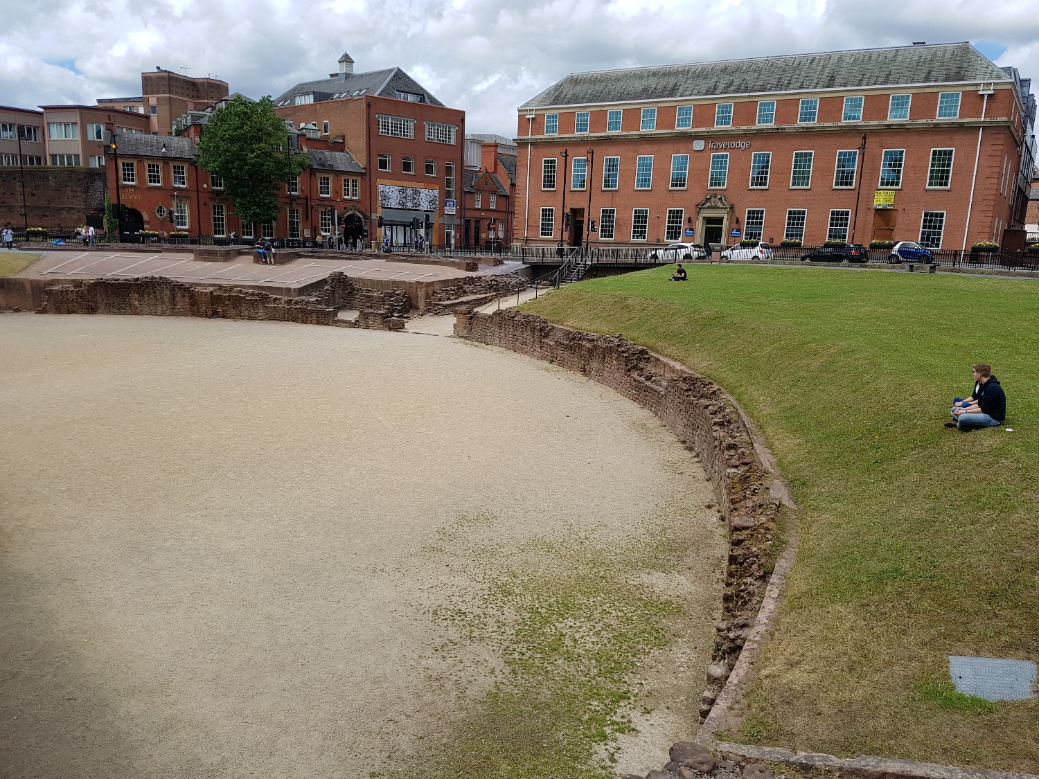
Having wandered around Jodrell Bank for a while I realise that I've got quite a bit of walking to do so better crack on. I walk through the Dingle Bank quarry walking over a seemingly never ending conveyer belt of sand. 

upload.jpg

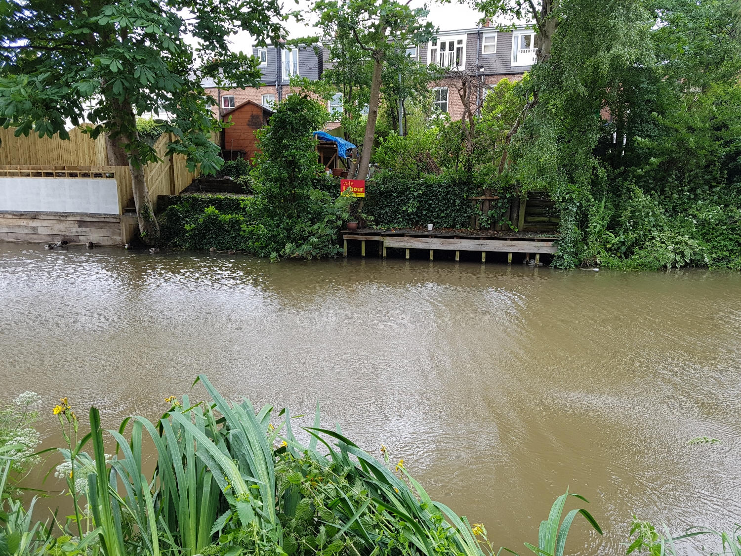
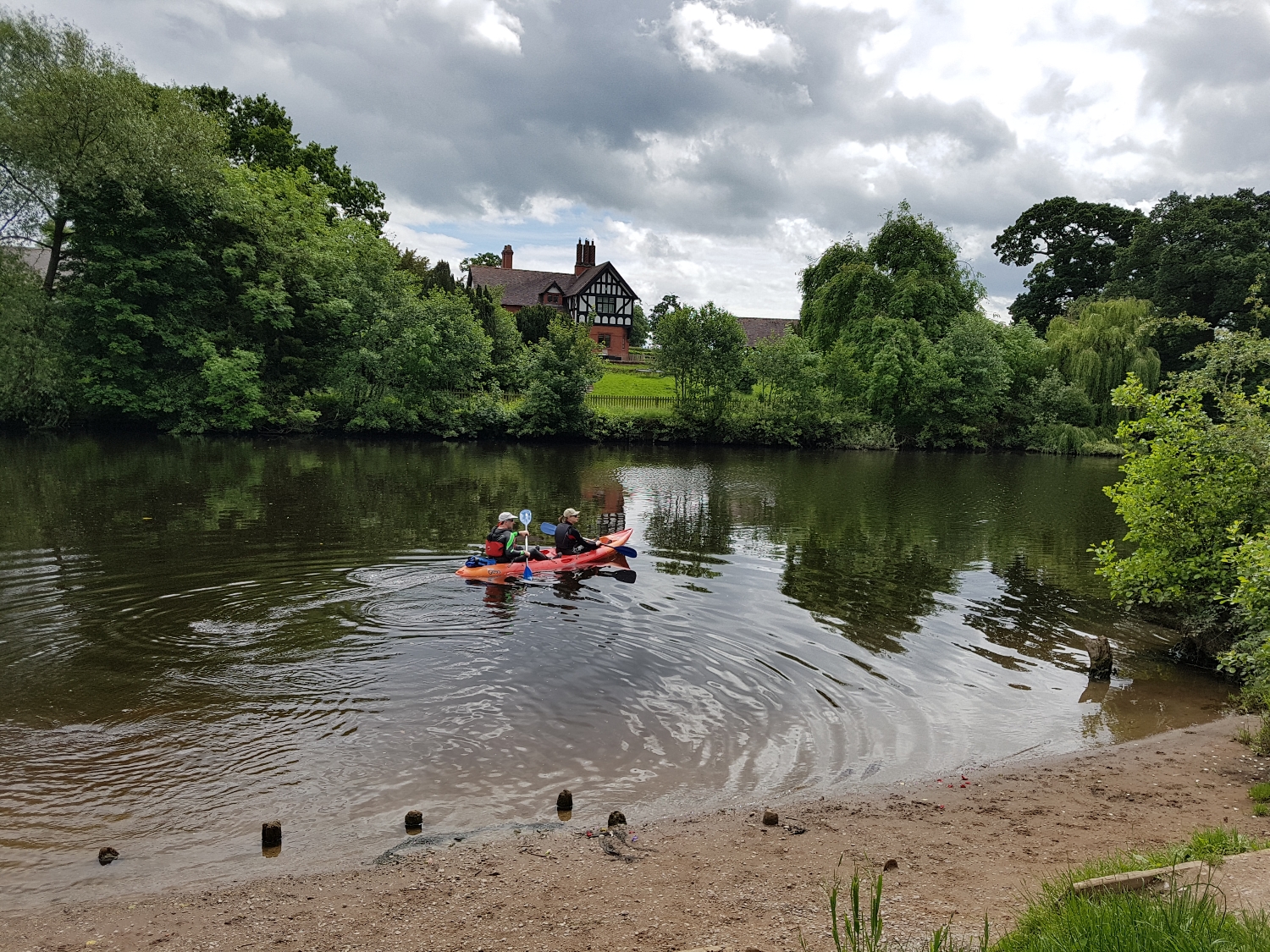
Through the village of Siddington which takes me to Reeds Mere.

upload.jpg
upload.jpg
upload.jpg

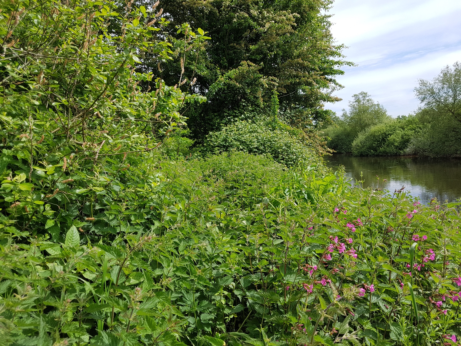
Then a bit dollop of very pleasant Cheshire countryside. 

upload.jpg
upload.jpg
upload.jpg

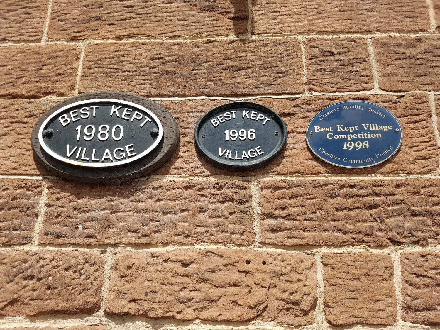
To the fancy village of Prestbury which reminds me a bit of East Dulwich. Current and past residents of Prestbury include Wayne Rooney, Peter Crouch, Carlos Tevez, Michael Carrick, Wes Brown, Owen Hargreaves and Robbie Savage - I think I can see a pattern emerging. 

upload.jpg

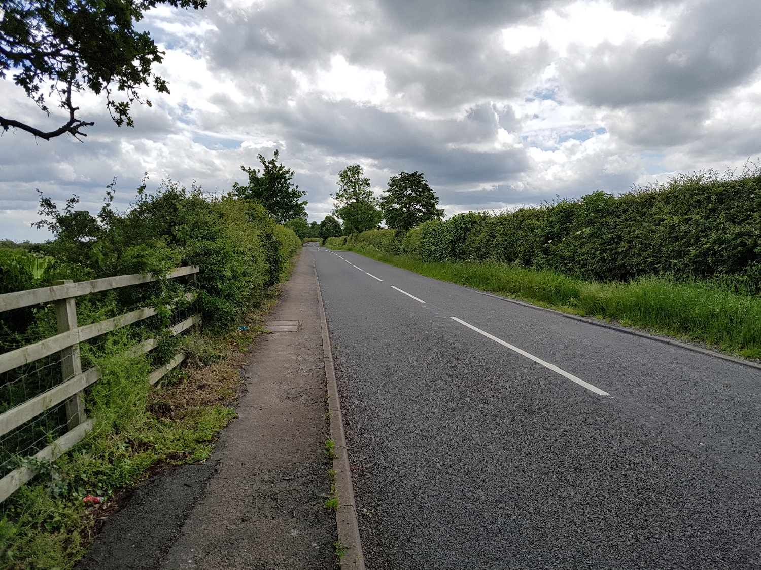
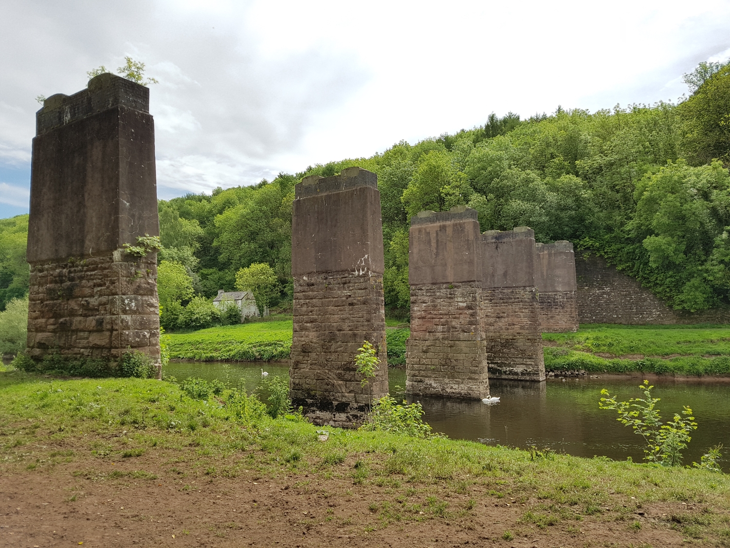
Cross a few more fields. 

upload.jpg
upload.jpg

Then after a quick pitstop for a pint sitting outside in the evening sun, I arrive to stay with my Aunt Alison, Uncle Rory, Cousin Edwina and Barney the dog.

upload.jpg
upload.jpg
upload.jpg
upload.jpg
upload.jpg

DAY 40: Great Budworth to Jodrell Bank (13.75m)

Leaving Great Budworth I past Pick Mere.

upload.jpg

Then through well kept villages, over the M6 motorway and past the course of gas pipelines. 

upload.jpg
upload.jpg
upload.jpg

An intriguing sign takes me to the village of Lower Peover.

upload.jpg
upload.jpg
upload.jpg
upload.jpg
upload.jpg

It has been a day of walking long roads so it's good to have a bit of woodland walking to take me next to Jodrell Bank for the night.  

upload.jpg
upload.jpg
upload.jpg

DAY 39: Runcorn to Great Budworth (13.61m)

Runcorn is a funny place but I like it. A friendly community getting on with things with a tangle of concrete flyovers and bridges looming over their town centre. It's a bit rough round the edges with the centre of town having quite a few boarded up shops.

upload.jpg
upload.jpg
upload.jpg

I leave town along the canal stopping for a rest in joined by a coot family.

upload.jpg
upload.jpg
upload.jpg

The canalside is dotted with wild flowers - Red Campion, Hedge Bindweed, Foxgloves and Brambles. Swans and their cygnets glide by. 

upload.jpg
upload.jpg
upload.jpg

I manage to avoid the threatening weather as I leave the canal. Taking country roads across Cheshire to Belmont Campsite for the night where the owners donate to my fundraising.

upload.jpg
upload.jpg
upload.jpg
upload.jpg

DAY 38: Liverpool to Runcorn (20.98m)

I spend three nights in Liverpool exploring the city, visiting the wonderful Catholic Cathedral, wandering around art galleries and staying up to watch the general election results. 

upload.jpg
upload.jpg
upload.jpg
upload.jpg
upload.jpg
upload.jpg
upload.jpg
Liverpool - Election Night - 2017

Liverpool - Election Night - 2017

After a night of some drinks in Albert Dock with my pal Laura I'm off.

upload.jpg

It's tipping it down when I set off and I clamber into all of my waterproofs but happily after twenty minutes the rain stops. I'm following the path along the Mersey - past the Albert Dock and the Echo area and along a long promenade at Otterspool.

upload.jpg
upload.jpg
upload.jpg
upload.jpg
upload.jpg
upload.jpg

After a good morning's walk, and with a couple of small diversions away from the Mersey, I arrive at the Speke Hall. This Tudor manor house is hidden away right next to the airport.  i wander round the gardens for a while and then go to follow the path which runs between the airport and the water. However after a couple of hundred yards the path is blocked and I turn around to go back to Speke Hall and plot a new route. 

upload.jpg
upload.jpg

After some deliberation I decide to go north of the airport and through the Speke housing estate, childhood home of Paul McCartney and George Harrison. Speke was built as a new town in 1936 for people from the slums of the south end of Liverpool. However Speke turned out to be a bit of a failure - soulless and cut off from the rest Liverpool by a large induatrial estate and the airport. By the year 2000 it was the second most deprived ward in England and Wales (out of 8414)

upload.jpg

Leaving Speke I come to the village of Hale. The contrast within a few hundred yards is astonishing. From the near-identical red brick houses of Speke to the comfortable houses of Hale sitting behind their large gates. Wandering onto the village I stumble across the annual Hale Village Carnival. Having paid my £2 I have a mooch around. 

upload.jpg

Hale was home to the legendary John Middleton  (1578–1623) who is reputed to have grown to 9ft 3in tall. The village seems rather fond of their giant ancestor, with a "life-sized" statue and railings around his grave in the churchyard. 

upload.jpg
upload.jpg

After Hale i cut back onto the coast, joining part of the Trans-Pennine trail. I find evidence that another End-to-Ender has taken this path before. 

upload.jpg
upload.jpg

I reach the town of Widnes and cross the old bridge to take me into Runcorn. The end of a long, grey but enjoyable days walking.  

upload.jpg
upload.jpg

DAY 37: Ellesmere Port to Liverpool (13.29m)

I leave the Gladwin's early, heading up the Wirral. Through the residential areas of Great Sutton, Childer Thorton, Hooton and Eastham.

upload.jpg
upload.jpg
upload.jpg

I leave the main road to explore Port Sunlight which was built by Lever Brothers to accommodate workers in it's soap factory. William Lever had a rather paternalistic attitude to his workers saying he wanted to share profits with them but that "It would not do you much good if you send it down your throats in the form of bottles of whisky, bags of sweets, or fat geese at Christmas. On the other hand, if you leave the money with me, I shall use it to provide for you everything that makes life pleasant – nice houses, comfortable homes, and healthy recreation". To be fair though he did build them a lovely village with lots of green space and beautiful Arts and Crafts houses.

upload.jpg
upload.jpg
upload.jpg
upload.jpg

At the heart of the village is the Lady Lever Art Gallery - a magnificent showcase for William Lever's extensive collection of painting, sculpture, ceramics and furniture.

upload.jpg
upload.jpg
upload.jpg
upload.jpg
upload.jpg

I leave Port Sunlight and head further up the Wirral towards Birkenhead. 

upload.jpg

As i approach the Mersey at Birkenhead the hunched brick figure of the ventilation tower for the Mersey Tunnel looms ahead. 

upload.jpg
upload.jpg

I'm at the ferry terminal ready to make the trip across to Liverpool. The ferry has had a repaint designed by Sir Peter Blake as part of the First World War commemorations. The design is inspired by dazzle camouflage (strong complex geometric patterns) painted on ships during the First World War.

upload.jpg
WW1 Dazzle Ships

WW1 Dazzle Ships

On the PA system a blast of Gerry and the Pacemakers is played and we past the shipyard building Boaty McBoatface (now called RRS Sir David Attenborough). We swing round to face Liverpool and head towards Pier Head and the three graces - the Liver Building, Cunard Building and the Port of Liverpool Building.

upload.jpg
upload.jpg
upload.jpg

A ten minute walk from Pier Head I reach my hostel (£8 a night!).

DAY 36: Chester to Ellesmere Port (9.28m)

A short walk today - a hop, skip and a jump along the canal.

upload.jpg
Not so idle! 

Not so idle! 

I'm walking two days before the general election, through the City of Chester constituency which at the time is the most marginal in the country with a Labour majority of just 93 votes. It's looking good and the canalside properties have come out strongly for Labour (Labour went on to increase their majority to 9,176!).

upload.jpg
upload.jpg

It's a really blustery day on the Shropshire Union Canal.  

upload.jpg
upload.jpg

I leave the canal and cut across the M56 to take me into Ellesmere Port. I'm staying with the our family friends the Gladwins - I love the message waiting for me at the house!

upload.jpg
upload.jpg

DAY 35: Farndon to Chester (10.23m)

Leaving Farndon I pass a massive obelisk commemorating local landowner Roger Barnston. Major Barnston, whose family owned land in the area for more than 600 years, served in the Crimean War. He died in India, at the age of 31, on 23 December 1857 from wounds sustained at the Siege of Lucknow in the Indian Rebellion.

upload.jpg
upload.jpg

I soon realise that my planned route for the day follows chunks of the Deva Triathlon - I dodge speedy cyclists.

upload.jpg
upload.png
upload.jpg

I reach the village of Aldford, passing Blobb Hill, I cross the River Dee at the iron bridge which goes across to land owned by the Duke of Westminster. The current Duke, the 9th richest man in Britain, largely avoided paying inheritance tax (on a fortune of 9 billion) when his father died last year - which prompted calls for a review of the law around inheritance tax. The footpath doesn't venture very far onto the large estate. 

upload.jpg
upload.jpg
upload.jpg

The footpath runs along the river. 

upload.jpg
upload.jpg
upload.jpg
upload.jpg

I leave the river at Eccleston, taking the route of the old Roman road into Chester. 

upload.jpg
upload.jpg

Reaching the city itself and passing the triathlon finish line, I wander through the centre - part historic, part Victorian invention.

upload.jpg
The Roman amphitheatre  

The Roman amphitheatre  

upload.jpg
upload.jpg
upload.jpg

DAY 34: Dobson's Bridge to Farndon (16.93m)

I leave my campsite and skirt the edge of the Meres and Mosses wetlands.

upload.jpg

I cross a wheat field (so I'm at least as naughty as our Prime Minister). 

The early morning dew soaks my trousers and fills my boots and I squelch along a short section of canal 

upload.jpg
upload.jpg

I take back roads, past a field of blood red poppies, to the village of Hanmer and it's mere. 

upload.jpg
upload.jpg
upload.jpg
upload.jpg

I head north from Hanmer and just outside the village of Tallarn Green I reach exactly 500 miles of walking from Land's End!

The 500 mile point

The 500 mile point

upload.jpg

Over the course of the day I cross the English/Welsh border six times. I'm heading towards the twin settlement of Holt and Farndon for the night (Holt in Wales and Farndon in England, separated by the River Dee).

upload.jpg
upload.jpg
upload.jpg
upload.jpg
upload.jpg
upload.jpg

DAY 33: Shrewsbury to Dobson's Bridge (19.22m)

After a great evening with Nan, and with a hearty breakfast inside me, I set off for the day - first heading into the centre of Shrewsbury.

upload.jpg
upload.jpg

I head north out of the centre and through a couple of miles of housing, industrial parks and out-of-town shopping outlets. I walk through an underpass (painted with positivity) and I'm into the countryside.

upload.jpg
upload.jpg
upload.jpg

I reach the green fields near Battlefield - the site of the defeat of Henry "Hotspur" Percy's rebel army by Henry IV in July 1403. The battle, the first in which English archers fought each other on English soil, features in Shakespeare's Henry IV, part 1.

upload.jpg

Then along back roads to the village of Clive where I stop off for some lunch. 

upload.jpg
upload.jpg
upload.jpg
upload.jpg
upload.jpg

I then motor on, in the rain, to the small town of Wem (home of the modern sweet pea!)

upload.jpg
upload.jpg
upload.jpg

Leaving Wen it's 4 miles more to my campsite for the night. With the on-going drizzle I'm not looking forward to setting the bivy up. But at the campsite I find a covered BBQ area - a nice dry place to sleep and it's got a TV!

upload.jpg
upload.jpg

DAY 32: Coalport to Shrewsbury (20.61m)

I retrace my steps along the gorge to Ironbridge, crossing into the town itself then picking up the Severn Way.

upload.jpg
upload.jpg
upload.jpg
upload.jpg

As I follow the river I see the lovely red power station towers from the other side.  

upload.jpg
upload.jpg

Leaving the river I walk up through a small wood called Piner's Coppice, full of the smell of freshly cut wood. 

upload.jpg
upload.jpg

As I walk I can usually see The Wrekin rising up from the Shropshire plane in the distance. 

upload.jpg

A Shropshire phrase goes: "If you can see the Wrekin, it's going to rain. And if you can't see the Wrekin, it's already raining". I can see it but the rain holds off!

Carrying along the Severn Way down quiet country lanes.  

upload.jpg
upload.jpg

Then, not far from Shrewsbury, a proper riverside walk. Peaceful with a late afternoon sun.  

upload.jpg
upload.jpg
upload.jpg

Into Shrewsbury itself. Passing Lord Hill's Column (taller than Nelson's) and the beautiful Shirehall building designed by Ralph Crowe, the county architect in the mid 1960s. To my Nan's for the night.

upload.jpg
upload.jpg

DAY 31: Wilderhope Manor to Coalport (14.21m)

For most of the day I am following the Wenlock Edge. This narrow escarpment cuts through the countryside for 19 miles from Craven Arms to Much Wenlock. It was created from a coral reef formed in shallow subtropical seas about 425 million years ago.

upload.jpg
upload.jpg
upload.jpg
upload.jpg

I drop off the path to walk into Much Wenlock. 

upload.jpg
Dr William Penny Brookes & Baron Pierre de Coubertin (photos: Wikimedia Commons)

Dr William Penny Brookes & Baron Pierre de Coubertin (photos: Wikimedia Commons)

This market town is famous for the Wenlock Olympian Games. These games, founded by local boy Dr William Penny Brookes, were the forerunner of the Modern Olympic Games. Baron Pierre de Coubertin visited the Wenlock Games in 1890 and went on to form the International Olympic Committee which created the modern games. One of mascots for the 2012 London Olympics was named Wenlock in honour of the town. 

upload.jpg
Selfie with Wenlock

Selfie with Wenlock

upload.jpg

And then through Benthill Edge Wood on the edge of Ironbridge. As I walk through the woods I see glimpses of the red towers of the riverside Ironbridge Power Station. 

upload.jpg
upload.jpg
upload.jpg
"Power Station at Ironbridge 1"  

"Power Station at Ironbridge 1"  

upload.jpg
"Power Station at Ironbridge 2"  

"Power Station at Ironbridge 2"  

upload.jpg

Leaving the woods I arrive at the iron bridge (at Ironbridge), but don't cross it. Follow the gorge to Jackfield.

upload.jpg
upload.jpg
upload.jpg

Then across the footbridge to Coalport and my hostel for the night. 

upload.jpg
upload.jpg
upload.jpg
upload.jpg
upload.jpg

DAY 30: Ludlow to Wilderhope Manor (16.03m)

After a great Yorkshire wedding weekend I'm back on the road from Ludlow.

upload.jpg
upload.jpg
"Trout and Tories" (Apperson, English Proverbs and Proverbial Phrases: A Historical Dictionary, 1929)

"Trout and Tories" (Apperson, English Proverbs and Proverbial Phrases: A Historical Dictionary, 1929)

Tories

Tories

Trout

Trout

I reach the village of Culmington planning to take a rest. Then a guy pops up (who I later found out is called Dennis) who offers a tour of the church.  

upload.jpg
upload.jpg

Dennis unlocks a door and I half climb, half crawl up a narrow step of stairs. I find myself at the top of the rood screen - the carved wood screen separating the nave from the chancel of the church. At Easter the priest would preach from the top of the rood screen, flanked by choir boys.

Dennis as seen from the top of the rood screen stairs.

Dennis as seen from the top of the rood screen stairs.

upload.jpg
upload.jpg
upload.jpg

Bidding Dennis farewell I head across Corvedale taking a winding road between hills.  

upload.jpg
upload.jpg
upload.jpg

Heading towards the Wenlock Ridge. 

upload.jpg

At the ridge I follow a path - all the time with woodland around, or next to me.

upload.jpg
upload.jpg
upload.jpg

I reach the Youth Hostel at the Elizabethan gabled manor house of Wilderhope. A fine hostel.

upload.jpg
upload.jpg
upload.jpg
upload.jpg

DAY 29: Leominster to Ludlow (13.28m)

Early morning dew on the fields as I leave Leominster then onto roads heading north. 

upload.jpg
upload.jpg
upload.jpg
upload.jpg

When I reach the village of Luston I leave the roads, taking the Herefordshire Trail across farms, churchyards and railway tracks. 

upload.jpg
upload.jpg
upload.jpg
upload.jpg
upload.jpg
upload.jpg
upload.jpg
upload.jpg
upload.jpg

Passing a wireless transmission station in the distance. 

upload.jpg

I take part of the old stage coach road (now a footpath), to the outskirts of Ludlow. This road wad replaced by the turnpike road (now the B4361) in 1756.

upload.jpg
upload.jpg

Across the 15th century Ludford Bridge into the town itself. Then to the railway to catch a train to Yorkshire (via Birmingham) to my friend's Nick & Amy's wedding.

upload.jpg
upload.jpg
upload.jpg

DAY 28: Hereford to Leominster (19.01m)

Rest day in Hereford - washing clothes, sleeping and an organ recital at the cathedral (I lead a rock and roll lifestyle). Mainly stopped in Hereford so I could see the Mappa Mundi - the largest medieval map still in existence.

upload.jpg
upload.jpg
upload.jpg
The Kappa Mundi (photo: Wikimedia Commons)

The Kappa Mundi (photo: Wikimedia Commons)

Detail of Mappa Mundi (photo: Telegraph)

Detail of Mappa Mundi (photo: Telegraph)

upload.jpg
upload.jpg
The Chain Library, Hereford Cathedral

The Chain Library, Hereford Cathedral

An early start on a perfectly shiny May morning. I'm zig-zagging across the countryside, mainly avoiding the two A-roads which head North from Hereford.

upload.jpg
upload.jpg
upload.jpg
upload.jpg
upload.jpg

I stop for a rest at the village of Burghill with it's memorial to a tragic wartime accident. 

upload.jpg
upload.jpg
The airmen earlier in 1944 (photo: BBC) 

The airmen earlier in 1944 (photo: BBC) 

The walk after Burghill takes me through commercial orchards.

upload.jpg
upload.jpg

Across more countryside to the village of Canon Pyon where I picked up some local strawberries for lunch. 

upload.jpg
upload.jpg
upload.jpg
upload.jpg

A quiet road follows the contours around Burley Hill and then to my guesthouse at Leominster where I meet and chat with Louise and Ashley over cheese and wine. 

upload.jpg
upload.jpg
upload.jpg

DAY 27: Hoarwithy to Hereford (14.66m)

After a few pints the night before with some friendly locals at the New Harp Inn (and a delicious free curry - cheers Adrian!) I have a bit of a lie in. The beginning of today's walk was a difficult one. I head along the footpath beside the River Wye but have to give up pretty soon when my arms and legs get covered in painful stinging nettle rashes. This is obviously not a well-trodden path and I head onto the road.

upload.jpg
upload.jpg

When the path becomes clearer I follow the river around to an old dismantled railway viaduct.

upload.jpg
upload.jpg
upload.jpg

This is where I face my second issue of the morning: COWS. On my walk so far I have successfully overcome any fear of cows having walked through hundreds of fields of them. However this morning was different, or rather these cows were different. Usually cows just look at you with mild curiosity however these cows started following me and herding around me. I backed away pretty sharpish and retraced my steps back to the road. 

Having not had much success on the riverside path I cut inland and have a much better time of it.  

upload.jpg
upload.jpg
upload.jpg

 And I get a military plane flyover. 

upload.jpg

And meet a very friendly little pony.  

upload.jpg
upload.jpg

And into Hereford. 

upload.jpg
upload.jpg

DAY 26: Welsh Bicknor to Hoarwithy (10.89m)

A short walk today. I head to the village of Peterstow where I pick up supplies, including homemade samosas, for lunch.

upload.jpg
upload.jpg
upload.jpg

Everything is very neat and ordered around here.  

upload.jpg

Lunch itself I have in the churchyard at the deserted little village of Sellack. The church here is the only one in England dedicated to Saint Tysilio (another dedicated church is in Wales at the famous village of Llanfair­pwllgwyngyll­gogery­chwyrn­drobwll­llan­tysilio­gogo­goch). I pop in to have a mooch around. 

upload.jpg
upload.jpg
upload.jpg

Leaving Sellack I cross the, rather bouncy, late 19th century suspension footbridge to take me to King's Caple.

upload.jpg

It's been a pleasant but unremarkable days walk until I cross the river again, into the village of Hoarwithy, my destination for the night. Here I see the church of St Catherine's. This is, by far, the favourite church among many that I have visited on my walk. Variously described as Romanesque, Byzantine and Italianate it sits perched on a hill above the village. The open cloister around the side of the church is carved with an array of beasts and patterns. Inside is marble, gold mosaic and a window by William Morris and Edward Burne-Jones.

upload.jpg
upload.jpg
upload.jpg
upload.jpg
upload.jpg
upload.jpg
upload.jpg
upload.jpg
upload.jpg
Postcard of window by Morris and Burne-Jones  

Postcard of window by Morris and Burne-Jones  

DAY 25: St Briavels to Welsh Bicknor (21.53m)

A day spent in the Wye Valley crossing back and forth between England and Wales.

upload.jpg
upload.jpg
upload.jpg
upload.jpg

I walk through large patches of ancient woodland with Yew, Lime and Whitebeam. 

upload.jpg
upload.jpg

With the River Wye never far away. 

upload.jpg
upload.jpg

Passing a log with coins embedded in it - perhaps a wishing tree

upload.jpg
upload.jpg
upload.jpg

It's League One play-off finals day and I'm gutted not to be at Wembley. The sun is starting to shine and I'm only twenty minutes from the youth hostel so I lay down in the field and follow the match.

upload.jpg
upload.jpg

Buoyed up by the fantastic result I wander over to the last footbridge to take me across to the hostel at Welsh Bicknor. 

upload.jpg
upload.jpg

I can see the hostel, it's right across the river. But the footbridge has become unstable and is closed off. So despite being a hundred metres away I have to take a 2 hour/6 mile diversion to reach it!

upload.jpg
The broken bridge

The broken bridge

upload.jpg
upload.jpg
upload.jpg
upload.jpg

DAY 24: Aust to St Briavels (14.45m)

As a teenager I had a picture of the old Severn Bridge on my wall. I recently visited an exhibition about bridge building at the Institute of Civil Engineers to see a massive Lego model based on the old Severn Bridge. So I have been looking forward to walking across this beautiful bridge for a while. 

upload.jpg
upload.jpg

It's a perfect morning for it. 

upload.jpg
upload.jpg
upload.jpg
upload.jpg
upload.jpg
upload.jpg
upload.jpg
upload.jpg
upload.jpg

Before you reach Wales the bridge crosses a spit of Gloucestershire land housing an army base. The soldiers run around far below.  

upload.jpg
upload.jpg
upload.jpg

And then after a mile I'm in Wales! 

upload.jpg

I walk through Chepstow and pick up the Wye Valley Walk. This is, for me, perfect walking. A woodland walk, up high above the river and following the contours (there is even a section which runs through a cave).

upload.jpg
upload.jpg
upload.jpg
upload.jpg
upload.jpg
upload.jpg
upload.jpg
upload.jpg

And then coming round a corner on the road, in a deep sided wooded valley sits the 12th century Cistercian Tintern Abbey.

upload.jpg
upload.jpg
upload.jpg
upload.jpg
upload.jpg

I leave Tintern hoping that the coming storm won't break on me.

upload.jpg

And then up into the hills heading for Camp Hillcrest in the village of St Briavels, on the edge of the Forest of Dean.  All day I have been hearing the forester accent - a mixture of West Country and Welsh (you can hear some examples here).

upload.jpg

Camp Hillcrest is great. Loads of interesting people hanging around; goats, chickens and dogs; an indoor skatepark and loads more. I even chipped in to help paint one of their bunkhouses before settling into my caravan for the night. 

upload.jpg
upload.jpg
upload.jpg
upload.jpg
upload.jpg

DAY 23: Bristol to Aust (16.55m)

The rain has stopped and the sun is vaguely shining as I leave Clifton, passing the elegant modernist Cathedral, heading into the centre of Bristol.

upload.jpg
upload.jpg

After a catch up with my pal Alicja I head towards the River Avon to follow it out of town. 

upload.jpg
upload.jpg
upload.jpg

Today is a walk dominated by three bridges and I'm heading towards the first: The Clifton Suspension Bridge. Completed in 1864, to a design by Isambard Kingdom Brunel, the bridge sits high spanning the Avon Gorge. 

upload.jpg
upload.jpg
upload.jpg

Passing under the bridge I carry on, River Avon on my left and the constantly busy A4 on my right, until I reach Sea Mills. A short section of suburbia then I reach the liminal landscape between city and estuary. A landscape of light industry, mini wind turbines, flytipping and sewage works. Of power stations, wide grass verges, distribution centres and logistics companies. 

upload.jpg
upload.jpg
upload.jpg
upload.jpg

Finally I'm out onto the Severn Estuary. A long walk along the estuary is taking me to the second and third bridges of the day.

Firstly the Second Severn Crossing, inaugurated in 1996, which carries the M4 across to Wales.

upload.jpg
upload.jpg
upload.jpg
upload.jpg

I carry on along the estuary.

upload.jpg
upload.jpg
upload.jpg

Keeping sight of the third and final bridge of the day: The Old Severn Bridge. One of my favourites, this Grade I listed bridge was opened by the Queen in 1966.

upload.jpg
upload.jpg

I cross a couple of fields and through a village and then suddenly I'm crossing the approach road to the bridg,e above the toll booths, to reach my destination for the night. 

upload.jpg
upload.jpg
Bridge construction

Bridge construction

DAY 22: Bath to Bristol (17.00m)

I spend my rest day pottering around Bath and exploring a couple of museums:

  • The Holburne Museum housing the collection of the 18th Century Sir Thomas William Holburne.
  • The Herschel Museum of Astronomy   which is the preserved house of William Herschel and his sister Caroline and in whose garden William discovered Uranus.
upload.jpg
upload.jpg

And then to my days walk from Bath to Bristol which can be summed up by one word: RAIN

RRRRRRRRRRRRRRRRRRRRRRRRRRRRRRRRRRRAAAAAAAAAAAAAAAAAAAAAAAAAA                     IIIIIIIIIIIIIIIIIIIIIIIIIIIIIIIIIIIIIII                                           NNNNNNNNN

All day, just rain.

upload.jpg

I start by crossing the city via the Royal Crescent and then to the Royal Victoria Park heading down to the River Avon.

upload.jpg

I pick up the cycle route which follows the old railway line between the cities.

upload.jpg
upload.jpg
upload.jpg

I shelter for some lunch in a hut at the Bird in Hand Petanque Club.


upload.jpg

Following the cycle path I reach the site of the old Kelston Railway Station. The station was built on land sold by Mr Inigo Jones of Kelston who directed where the station should be positioned despite it having no road access - passengers had to walk to the station. Mr Jones also retained the right to stop any train passing through with 24 hours notice.

upload.jpg

I cut off the cycle path at Willsbridge and follow main roads through suburban Bristol into the city. 

upload.jpg

Reaching my friend Vicks, and a night in with a curry, just as the rain stops.  

upload.jpg