DAY 21: Midsomer Norton to Bath (14.11m)

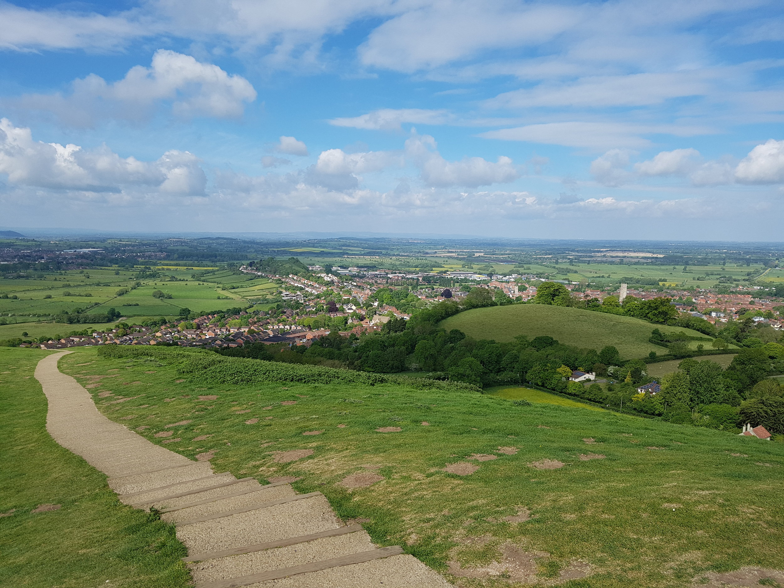
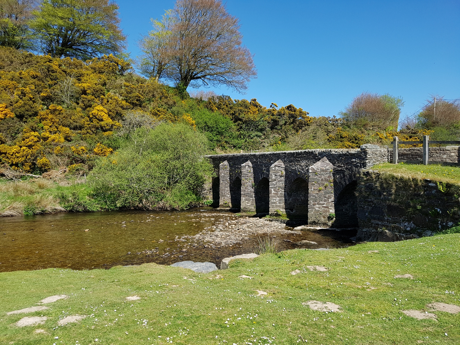
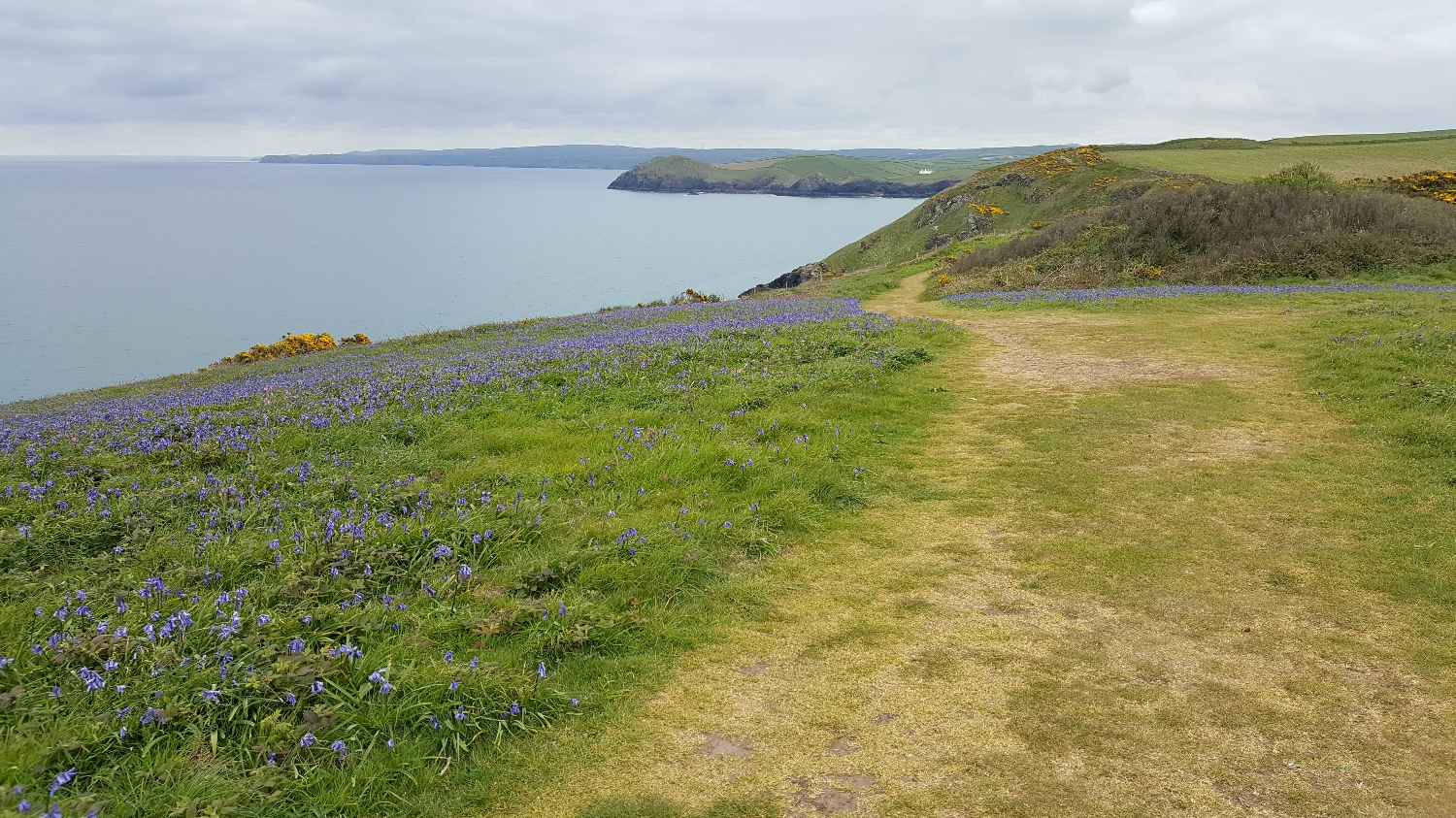
I had planned a route taking me across country and up and down hills today. However just before I set off I notice the cycle-path which goes directly from Midsomer Norton into Bath and go with that.

It's easy walking along the cycle-path and then I reach Combe Down tunnel - which I hadn't noticed before on the map. This is the longest cycling (and I think walking) tunnel in the UK - at just over a mile long. Walking through is fantastic experience (if a little creppy). The light is set low so it is really quite dark.

After about five minutes of walking through the gloom of the tunnel I swear I start to hear the faint sound of classical music which just makes the experience even stranger. The music is coming from an installation by a group called United Visual Artists which features "sentinels" resembling traditional locomotive reflector lamps which are set into the walls.

Having emerged from the tunnel after twenty minutes I leave the cycle-path and cross through a small patch of woodland. Up a flight of steps I emerge into the city of Bath. One of the strangest ways to enter a city.

Walk across the city and then I'm with my friends James & Chrissy for a couple of nights.

DAY 20: Wookey Hole to Midsomer Norton (12.47m)

After a night of listening to the rain on my bivy I wake up to sunshine over the campsite.

I first cut up across the edge the Mendip Hills and I head towards Stockhill woods.

It's a good day of walking through lush green fields and shady woodland. Sections of wood are scented with the smell of thousands of wild garlic plants.

I head towards the impressive tower of the parish church at Chewton Mendip and the down some country lanes (through a sudden hail storm) to Midsomer Norton for the night.

A singularly interesting church, which possesses one of the most stately towers in the county
— Wade & Wade (1929), "Somerset"

DAY 19: Street to Wookey Hole (12.10m)

Fully refreshed from my rest day exploring the beautiful abbey ruins and strange shops of Glastonbury, I walk back into the town heading towards Glastonbury Tor.

Then breakfast at the top of the Tor.

After the Tor I take a pretty direct route across country, a chunk of time spent on the main Wells Road.

Having got up early and had a relatively short walk means I get to my camspite, set up the bivy and still have time to go off and explore the "Famous Caves and so much more" of Wookey Hole.

DAY 18: North Petherton to Street (19.12m)

I cross the great tarmac sliver of the M5 and then onto the Somerset Levels for the first time.

As I pick my way across the levels I head towards the only high point for miles - Burrow Mump (a tautology, Burrow Mump means Hill Hill).

There are some good views from the ruins of St Michael's Church on top of the Mump.

I have to admit I don't particularly enjoy this day walking across the levels. All of the drainage ditches means it is hard to go directly from A to B and I have resort to picking my way along some pretty busy roads. I had been warned about the footpaths in advance. Somerset farmers don't always seem to pay the highest regard to public rights of way. Footpaths that tail off into dead-ends or are blocked by barbed wire or padlocked gates that you have to climb over. On top of this the landscape is just too flat for me; rain is threatening all day; and my walk is accompanied by the regular sound of gunfire from the nearby firing range.

I'm glad to arrive in Street at the end of the day.

DAY 17: Stogumber to North Petherton (16.18m)

As I leave Stogumber I pass through a couple of pretty villages (with their displays of Wisteria).

Today is spend crossing the Quantock Hills to take me to the edge of the Somerset Levels.

This isn’t the Matterhorn, Jeremy, it’s the Quantocks, nobody dies in the Quantocks. If we’re very unlucky we might have wandered onto Exmoor, but...
— Peep Show - "Quantocking"

DAY 16: Exford to Stogumber (20.05m)

I'm definitely in hunting and shooting territory. I often spot spent shotgun cartridges on the ground and pheasants scatter away as a walk.

It's a misty morning as I cross the moors. Meeting no-one except some unusually inquisitive sheep. 

I've picked up the Coleridge way and by the time I have reached the village green at Pooltown the sun has come out.

Many of the fields around Exmoor are bordered by hedge banks made of beech trees. The young stems are cut and laid sideways creating a mass of tangled branches.

I follow the Coleridge way through across fields and through patches of beech and pine woodland.

I cross a field of characteristic red soil to take me into the village of Stogumber.

DAY 15: South Molton to Exford (13.67m)

After the drinks the night before I'm off to a slow start with a headache. Luckily my usual hangover cure is a long walk so soon I am feeling pretty good as I walk footpaths and roads to take me up onto Exmoor.

upload.jpg
upload.jpg
upload.jpg
upload.jpg
upload.jpg
The flag of Exmoor

The flag of Exmoor

upload.jpg
upload.jpg
upload.jpg

On the way I pass Balls Cross and then go over the Devon/Somerset border onto proper moor land where I spot some Exmoor ponies.

upload.jpg
upload.jpg
upload.jpg
upload.jpg

After crossing the River Barle at the medieval Landacre Bridge, a short climb and some more country lanes, takes me into the pretty village of Exford for the night. 

upload.jpg
upload.jpg
upload.jpg

DAY 14: Barnstaple to South Molton (16.06m)

A spring in my step as I leave Barnstaple. I pick up the Tarka Trail at the village of Landkey. I soon encounter a couple of ponies running unattended around the lanes. Having flagged down a farmer I'm told that they often escape but the owner doesn't seem to do anything!

upload.jpg
upload.jpg
upload.jpg

The trail takes me into the lush green of Little Silver Wood with banks of Harts Tougue Fern, common Male Fern and Wild Garlic. 

upload.jpg
upload.jpg
upload.jpg

I leave the woods out into open country connected by old track ways.  

upload.jpg
upload.jpg
upload.jpg
upload.jpg

I walk watching the shadow of the clouds pass over the gentle hills around me.  

upload.jpg
upload.jpg
upload.jpg

Crossing a last bit of woodland I follow a winding, forested, new tarmacked, B-road (I imagine great for driving) to my campsite for the night. 

upload.jpg
upload.jpg

I'm immediately welcomed and bought drinks and given money for my chosen charities. An evening of laughs and larger with some new mates (Pete, Mark and Dave). 

upload.jpg

DAY 13: Horns Cross to Barnstaple (19.14m)

A long walk today taking me further across North Devon. More country lanes to start off through villages, hamlets and farms. 

upload.jpg
upload.jpg

On the outskirts of Bideford I find myself on an unexpectedly busy road with no verge or pavement. I make the first detour I can, which takes me across paddocks of Llamas and miniature ponies.

upload.jpg

Having reached Bideford I encounter a Nazi military parade (apparently Bideford is the stand in for Guernsey for a film version of The Guernsey Literary and Potato Peel Pie Society). I cross the Long Bridge, one of the longest medieval bridges in the country, to pick up the Tarka Trail in East-The-Water.

upload.jpg

This section of the Tarka Trail follows the old Bideford to Barnstaple railway line and passes under the magnificent 1987 Torridge A39 Road Bridge.

upload.jpg
upload.jpg
upload.jpg
upload.jpg

Looking up "Cornish" on the surname mapper website confirms that I am now very much in Cornish family territory.

upload.jpg

At Instow I leave the Tarka Trail and take the long main road to Barnstaple. I pass through Fremington, where my Grandad and his family grew up. On my rest day the next day, I returned to Fremington. I leave a pebble from a Cornish beach that I have been carrying in my pocket. 

upload.jpg

I spend some time wandering around the church every now and then seeing another Cornish name.

upload.jpg

Leaving Fremington behind I cross another medieval bridge to take me into Barnstaple for the night. 

upload.jpg

DAY 12: Elmscott to Horns Cross (12.43m)

My first day for a while that I'm not going to be on the coastpath as I head across North Devon. Stop for breakfast in a copse carpeted by bluebells.

upload.jpg

I head up onto the rather bleak expanse of Bursdon Moor.

upload.jpg

Then through a pine plantation to the village of Woolfardisworthy for a spot of lunch in front of the church. 

upload.jpg
upload.jpg

The village of Woolfardisworthy is notable for a number of reasons. The first thing to note is that the village has an alternative name, Woolsery, which is actually how it is pronounced. It has connections to two rather unexpected organisations: tween-targeted loser of the social media battle, Bebo; and the Centre for Fortean Zoology (CFZ).

One of the founders of Bebo is reliving his childhood memories by sinking money into restoring the manor house, local pub and fish & chip shop.

The CFZ, which is based in the village, is focused on cryptozoology, the pseudoscience of discovering lost animals of folklore in the wild - bigfoot, werewolves, vampires etc. Jonathan Downes, the founder of the CFZ, describes an encounter he had at young age in the next door village:

"In the half-light we could see an amorphous shadow of what appeared to be an enormous black predatory creature crouching over the carcass of the roebuck. If you looked at it directly there was nothing to see, but out of the corners of our eyes it was clearly visible. That was just too much for us...To this day I am convinced that we encountered the Abbotsham werewolf."

upload.jpg

Having left Woolfardisworthy/Woolsery I journey along more country lanes to the 13th century inn where I am staying the night. 

upload.jpg
upload.jpg

DAY 11: Bude to Elmscott (15.71m)

A broken phone led to a couple of unplanned rest days in Bude. Phone fixed and having taken the opportunity to have a catch up with fellow Land's End to John O'Groats walker Mike from Germany I'm back on the road again.

Me and Mike

Me and Mike

upload.jpg
upload.jpg
upload.jpg

An easy start out of Bude soon leads to toughest days walking so far with at least eleven steep combes to tackle. 

upload.jpg
upload.jpg
upload.jpg
upload.jpg
upload.jpg

I head along the coast to the satellite dishes of GCHQ Bude (dishes which were recently lit up in rainbow colours to celebrate International Day Against Homophobia, Transphobia and Biphobia). 

upload.jpg
upload.jpg
GCHQ Bude lights up with the rainbow (photo: GCHQ) 

GCHQ Bude lights up with the rainbow (photo: GCHQ) 

I follow the cliffs until I have to take a diversion inland as the path has fallen away into the sea. 

upload.jpg
upload.jpg
upload.jpg
upload.jpg

Then onto the village of Morwenstow and it's famous vicar. Robert Stephen Hawker (known as Parson Hawker) was vicar of the parish church for forty years in the 19th century. He seems to be noteworthy for two things: his kindness and his eccentricity.

upload.jpg

On kindness: he gave Christian burials to, and rememberence for, the men who died shipwrecked on the shores of his parish. Before him these men would usually be buried on the beach or left to the sea. The figurehead of the ship Caledonia (now inside the church to protect it from the elements) marked the graves of these men. He was also often found directing and organising the rescue of those who had been shipwrecked.

upload.jpg

On eccentricity: although I'm sure there is some exaggeration, if not total fabrication, the stories of Person Hawker are fantastic:

  • He loved dressing in bright clothing. A favourite outfit was a purple coat, blue fisherman's jersey, long sea-boots, a pink brimless hat and a yellow poncho made from a horse blanket. He also, reputedly, would sometimes dress up as a mermaid.
  • He would talk to the birds and bring his nine cats to church (although once he ex-communicated his cat for catching mice on a Sunday).
  • He modelled the chimneys of his vicarage to resemble churches that had been significant in his life (and one was modelled on his mother's tomb).
  • He built a hut on the cliffs from driftwood and sit in it, starring out to sea, smoking opium and writing poetry. Today Hawker's Hut, is the smallest property owned and managed by the National Trust.
upload.jpg
upload.jpg

Leaving Morwenstow I come down into Marsland Mouth and the Cornwall/Devon border. I've walked my first county!

upload.jpg

Just a big combe left then I'm at Elmscott bunk. house for the night.  

upload.jpg
upload.jpg
upload.jpg

DAY 10: Boscastle to Bude (16.86m)

All around the village of Boscastle there are plaques announcing that this or that building had been rebuilt or reconstructed following the flood of 2004.

Images from the 2004 flood (photo: BBC & Getty) 

Images from the 2004 flood (photo: BBC & Getty) 

Appropriately enough I wake up to rain for the first time in my walk. Seeing that the rain is forecast to continue all day I decide to avoid the cliff top coastal path and head onto the roads. 

upload.jpg
upload.jpg
upload.jpg

Nearly 17 miles of rain drenched country road take me to Bude via Crackington Haven (and a bacon sandwich) and Widemouth Bay (and a pint of Korev). 

upload.jpg
upload.jpg
upload.jpg
upload.jpg

DAY 9: Port Isaac to Boscastle (13.93m)

Day 9 starts with tackling a number of combes. Combes are step sided narrow valleys which slice into the landscape and cut down towards the sea. Walking the combes is tough. It requires clambering down steep slate steps - constantly worried about toppling over with my knees taking the impact of every step. And then there is the climb on the other side.....

upload.jpg
Four Combes

Four Combes

upload.jpg
upload.jpg
upload.jpg
upload.jpg
upload.jpg
upload.jpg
upload.jpg

I encounter my first piece of Cornish Nationalist graffiti. 

upload.jpg

And then into that stretch of coast leading to Tintagel Head. It is on this rocky stretch that it really becomes evident how this apparently relatively empty landscape has been moulded and shaped by human activity. Habours smoothed out of the cliffs; great piles of slate left from quarrying; gouges and cuts in the grey cliff face; and the remnants of winch bases, splitting sheds, tramways and wharves.

A landscape which now seems reserved for walkers and tourists was one a great centre of industry and production.  

upload.jpg
upload.jpg

And then there us Tintagel headland itself. A formidable lump of rock cut off from the mainland with lines of monastery and castle walls clinging to it's sides. A place of refugee, settlement and power for centuries. 

upload.jpg
upload.jpg

DAY 8: Padstow to Port Isaac (11.78m)

I catch the ferry, as the only passenger, across the Camel estuary to start today's walk at Rock.

upload.jpg
upload.jpg
upload.jpg
upload.jpg

Despite being a bit overcast today there are large swathes of colour from gorse bushes and carpets of bluebells.

upload.jpg
upload.jpg
upload.jpg

As i follow the coast I have become obsessed with reciting, and crossing off in my head, the wonderful names of the rocks, coves and islands that I pass. Just on this day's stretch we have:

Greenaway Rock, Shag Rock, Slipper Point, Guglane, Rumps Point, Sevensouls Rock, The Mould, Pengrit Cove, Carnweather Point, Great Lobb's Point, Lundy Hole, Pennywilgie Point, Pigeon Covered, Cow & Calf, Pine Haven, and Lobber Point.


upload.jpg

upload.jpg
upload.jpg
upload.jpg

DAY 6: Newquay to Harlyn Sands (16.81m)

Leaving behind the less than salubrious Newquay, I spend the day winding my way over cliffs and across bays towards Trevose Head and my final destination of Harlyn Sands holiday camp.

upload.jpg
upload.jpg

I love the herringbone slate walls which border the fields. In places they are covered by squishy plants and wild flowers. 

upload.jpg
upload.jpg
upload.jpg

I have been reading "Betjeman's Cornwall", a collection of the poet's prose and poems and I'm certainly walking through the landscape of Betjeman.

upload.jpg
upload.jpg
upload.jpg
Excerpt from "Cornish Cliffs" by John Betjeman

Excerpt from "Cornish Cliffs" by John Betjeman

upload.jpg
upload.jpg

Around Trevose Head...

upload.jpg
upload.jpg

...and past my dream house...

upload.jpg
upload.jpg

...to the bivy for the night.  

upload.jpg

DAY 5: Perranporth to Newquay (10.44m)

I head out of Perranporth along Perran Beach with Penhale Sands behind. The dunes of Penhale Sands cover the 6th Century remains of St Piran's Oratory. This lost church are central to the annual march of Cornish fervour and pride on St Piran's Day.

upload.jpg
upload.jpg
St Piran's Day (photo: Visit Cornwall) 

St Piran's Day (photo: Visit Cornwall) 

After the dunes and beach back up and onto the cliffs passing some radio (?) masts and then across the River Gannel into Newquay.

upload.jpg
upload.jpg
upload.jpg

DAY 4: Portreath to Perranporth (12.14m)

More cliff top walking today between the lovely Cornish ports of Portreath and Perranporth. 

upload.jpg
upload.jpg
upload.jpg
upload.jpg
upload.jpg
upload.jpg
upload.jpg

Stumbling across fragments of Cornwall's industrial history like the Wolframite mine and Nobel company explosives factory whose ruins perch up high on Cligga head. 

upload.jpg
upload.jpg
upload.jpg

And then into Perranporth for some fish by the light of the setting sun.

upload.jpg

DAY 3: Carbis Bay to Portreath (16.07m)

My first day on the South West Coast Path started by skirting a golf course and the Hayle estuary and then onto the wide beach in front of the Towan dunes.

upload.jpg
upload.jpg
upload.jpg

Following lunch, I head up and onto the brilliant, but severe, cliffs following them to Portreath (and spotting some seals chilling out on the beach).

upload.jpg
upload.jpg
upload.jpg
upload.jpg
upload.jpg
upload.jpg
upload.jpg
upload.jpg

DAY 2: Penzance to Carbis Bay (11.03m)

A day of crossing Cornwall from south coast to north. 

upload.jpg
upload.jpg

I pick my way across fields, legs soaked with morning dew, talking to farmers and avoiding the mine shafts which crouch hidden in the landscape

upload.jpg
upload.png
upload.jpg

Finishing with a drink in St Ives harbour.

upload.jpg